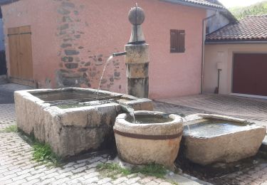
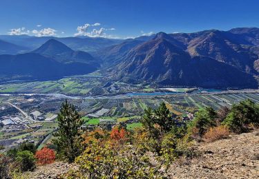
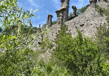
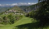
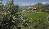
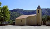
Trail Walking Piégut - La crête de la Colle - Piégut  - Photo
 tracegps
tracegps

User

© OpenStreetMap contributors
Length
Length
7.3 km
Max alt
Max alt
1411 m
Uphill gradient
Uphill gradient
409 m
Km-Effort
Km-Effort  
12.8 km
Min alt
Min alt
1035 m
Downhill gradient
Downhill gradient
409 m
Boucle
Boucle
Yes
Creation date :
2014-12-10 00:00:00.0
Updated on :
2014-12-10 00:00:00.0

(1 Reviews)

Walking
Walking
2h45
Difficulty : Medium

Scan this QR Code to open this trail in the SityTrail application

FREE GPS app for hiking

Logo SityTrail SityTrail

IGN / Geographical institutes

Download SityTrail from the App Store Download SityTrail from Google Play

Logo SityTrail SityTrail World

The world is yours!

Download SityTrail from the App Store Download SityTrail from Google Play Download SityTrail on Huawei AppGallery

About

Trail Walking of 7.3 km to be discovered at Provence-Alpes-Côte d'Azur, Alpes-de-Haute-Provence, Piégut. This trail is proposed by tracegps.

Description

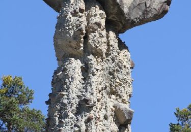
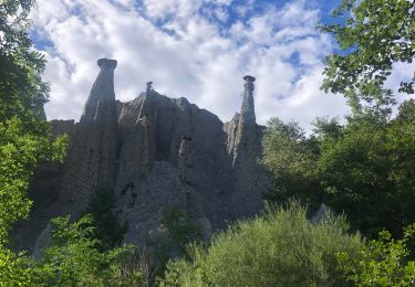
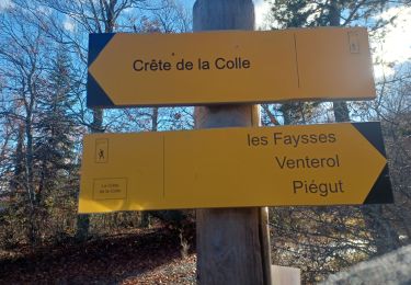
Ce circuit vous est proposé par les Hautes Terres de Provence. Se garer sur la place du village à proximité de la Mairie. Poursuivre plein sud sur 200m la D854 puis prendre face à vous la piste fléchée en direction de « Venterol- Gigors- Bellaffaire ». Un petit sentier sans grande difficulté va vous conduire jusqu’à la crête de la Colle. De là, prendre la piste sur votre droite pendant environ 500m, avant de bifurquer à droite dans une belle hêtraie. Après avoir rejoint la fin d’une piste, rester durant 200m sur celle-ci puis reprendre un joli sentier en sous bois. A proximité de Venterol, votre sentier rejoint une autre piste sur laquelle plusieurs balisages VTT sont indiqués. Bien prendre à droite la piste couplée avec le circuit VTT n° 3. 500m plus loin, laisser ce circuit à gauche pour poursuivre sur cette piste jusqu’à Piégut Retrouvez le circuit sur le site des Hautes Terres de Provence.

Elevation profile

Photos

Positioning

Country:
France
Region :
Provence-Alpes-Côte d'Azur
Department/Province :
Alpes-de-Haute-Provence
Municipality :
Piégut
Location:
Unknown
Start:(UTM)
271535 ; 4926037 (32T) N.

Comments

Please log in to post a review or rate the element


Trails nearby

Trail Walking Théus - R47   Les Demoiselles Coiffees - Photo
Walking
GUIDE+

Walking

Very easy
(2)
Théus, Provence-Alpes-Côte d'Azur, Hautes-Alpes, France
6.7 km | 13.4 km-effort
2h 31min
Yes
Trail Walking Théus - Les demoiselles coiffées  - Photo
Walking
Fabichette

Walking

Difficult
(1)
Théus, Provence-Alpes-Côte d'Azur, Hautes-Alpes, France
7.5 km | 14.2 km-effort
3h 13min
Yes
Trail Walking Venterol - URTIS . COL DE BUISSONET . SOM DE MONTSERIEUX . VENTEROL . O M S  - Photo
Walking
GUIDE
RobinMicheline

Walking

Medium
(1)
Venterol, Provence-Alpes-Côte d'Azur, Alpes-de-Haute-Provence, France
10.9 km | 18.6 km-effort
4h 40min
No
Trail Walking Faucon-du-Caire - FAUCON DU CAIRE  RAVIN DE L ECHELLE . CRETES DES ROUYERES  - Photo
Walking
GUIDE
RobinMicheline

Walking

Very difficult
Faucon-du-Caire, Provence-Alpes-Côte d'Azur, Alpes-de-Haute-Provence, France
12.7 km | 22 km-effort
4h 28min
Yes
Trail Walking Gigors - GIGORS Cretes des Barses par variante n - Photo
Walking
GUIDE
RobinMicheline

Walking

Difficult
Gigors, Provence-Alpes-Côte d'Azur, Alpes-de-Haute-Provence, France
13.8 km | 24 km-effort
4h 46min
Yes
Trail Walking Remollon - Remollon-un-tresor-cache-de-la-vallee-de-la-durance - Photo
Walking
PapouBertrand

Walking

Medium
Remollon, Provence-Alpes-Côte d'Azur, Hautes-Alpes, France
6.1 km | 9.1 km-effort
2h 4min
Yes
Trail Walking Remollon - Des Demoiselles Coiffées aux balcons de Remollon - Photo
Walking
PapouBertrand

Walking

Difficult
Remollon, Provence-Alpes-Côte d'Azur, Hautes-Alpes, France
8.4 km | 15.9 km-effort
3h 36min
Yes
Trail Walking Gigors - sabots de venus gigors 860m 12kms - Photo
Walking
GUIDE
Danielba

Walking

Difficult
Gigors, Provence-Alpes-Côte d'Azur, Alpes-de-Haute-Provence, France
10.8 km | 21 km-effort
6h 40min
Yes
Trail sport Théus - Mont colombes - Photo
sport
GUIDE
jouans

sport

Very easy
Théus, Provence-Alpes-Côte d'Azur, Hautes-Alpes, France
13 km | 25 km-effort
Unknown
Yes


Close
My subscriptions