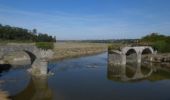
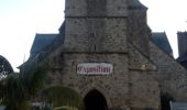
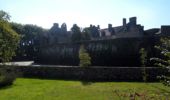
Trail Walking Lessay - Les chemins de Saint Michel - Lessay - Granville - Photo

Les chemins de Saint Michel - Lessay - Granville

 tracegps
tracegps

User

© OpenStreetMap contributors
Length
Length
78 km
Max alt
Max alt
160 m
Uphill gradient
Uphill gradient
724 m
Km-Effort
Km-Effort  
88 km
Min alt
Min alt
0 m
Downhill gradient
Downhill gradient
700 m
Boucle
Boucle
No
Creation date :
2014-12-10 00:00:00.0
Updated on :
2014-12-10 00:00:00.0

(0 Reviews)

Walking
Walking
--
Difficulty : Medium

Scan this QR Code to open this trail in the SityTrail application

FREE GPS app for hiking

Logo SityTrail SityTrail

IGN / Geographical institutes

Download SityTrail from the App Store Download SityTrail from Google Play

Logo SityTrail SityTrail World

The world is yours!

Download SityTrail from the App Store Download SityTrail from Google Play Download SityTrail on Huawei AppGallery

About

Trail Walking of 78 km to be discovered at Normandy, Manche, Lessay. This trail is proposed by tracegps.

Description

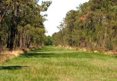
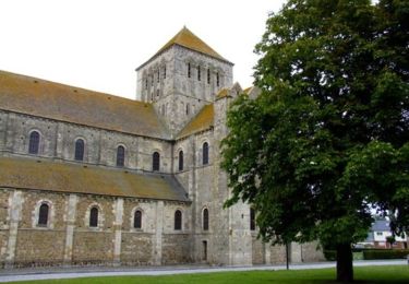
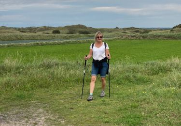
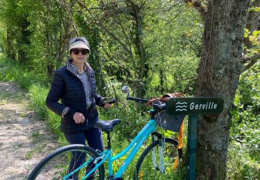
Goutez à l'itinérance en toute liberté en empruntant le chemin des Douaniers. Le sentier des douaniers, créé en 1791, permettait à la profession d'assurer la surveillance du littoral. Utilisé pendant un siècle et demi, il est tombé peu à peu en désuétude. De la Baie du Mont-Saint-Michel à la Baie des Veys, le Sentier des Douaniers chemine entre terre et mer. Marchez dans leur pas et vous prendrez la mesure des splendeurs qui se livrent à vous. De dunes en havres, de larges baies en criques, et de caps rocheux en marais, le chemin vous conduit à la découverte de ces milieux préservés, des ports de pêche et cités balnéaires qui jalonnent le parcours, de ces îles qui se dessinent au large. Deuxième étape de Lessay à Granville.

Elevation profile

Photos

Points of interest

Point of interest Pirou - 18_PIROU_CHATEAU_FORT - Photo
tracegps
Point of interest Muneville-le-Bingard - 19_MUNEVILLE_LE_BINGARD - Photo
tracegps
MUNEVILLE-LE-BINGARD 
Point of interest Saint-Sauveur-Villages - 20_ANCTEVILLE - Photo
tracegps
SAINT-SAUVEUR-VILLAGES 
Point of interest Coutances - 21_COUTANCES - Photo
tracegps
COUTANCES 
Point of interest Heugueville-sur-Sienne - 22_MONTCHATON_PONT_DE_LA_ROQUE - Photo
tracegps
HEUGUEVILLE-SUR-SIENNE 
Point of interest Orval-sur-Sienne - 23_MONTCHATON - Photo
tracegps
ORVAL-SUR-SIENNE 
Point of interest Montmartin-sur-Mer - 24_MONTMARTIN_SUR_MER - Photo
tracegps
MONTMARTIN-SUR-MER 
Point of interest Hauteville-sur-Mer - 25_HAUTEVILLE_SUR_MER - Photo
tracegps
HAUTEVILLE-SUR-MER 
Point of interest Annoville - 26_ANNOVILLE - Photo
tracegps
ANNOVILLE 
Point of interest Annoville - 27_ANNOVILLE_DUNES - Photo
tracegps
Point of interest Lingreville - 28_LINGREVILLE - Photo
tracegps
LINGREVILLE 
Point of interest Bricqueville-sur-Mer - 29_HAVRE_DE_LA_VANLEE - Photo
tracegps
BRICQUEVILLE-SUR-MER 
Point of interest Bréville-sur-Mer - 30_BREVILLE_SUR_MER - Photo
tracegps
BRÉVILLE-SUR-MER 
Point of interest Granville - 31_GRANVILLE - Photo
tracegps
GRANVILLE 

Positioning

Country:
France
Region :
Normandy
Department/Province :
Manche
Municipality :
Lessay
Location:
Lessay
Start:(UTM)
606857 ; 5452811 (30U) N.

Trails nearby

Trail Mountain bike Lessay - La lande de Lessay  - Photo
Mountain bike
tracegps

Mountain bike

Medium
(3)
Lessay, Normandy, Manche, France
29 km | 31 km-effort
2h 30min
Yes
Trail Walking Lessay - De l'Abbaye au bois du Pissot - Lessay - Photo
Walking
tracegps

Walking

Medium
(1)
Lessay, Normandy, Manche, France
14.5 km | 16.3 km-effort
3h 30min
Yes
Trail Walking Créances - Entre dunes et mielles de Créances  - Photo
Walking
serleb

Walking

Easy
Créances, Normandy, Manche, France
7.3 km | 7.8 km-effort
2h 28min
Yes
Trail Road bike Lessay - Velo Lessay la Haie du Puits - Photo
Road bike
FOUCAULT

Road bike

Lessay, Normandy, Manche, France
21 km | 22 km-effort
1h 55min
Yes
Trail sport Saint-Germain-sur-Ay - Randonnée saint germain sur Haye - Photo
sport
enoitna

sport

Very easy
Saint-Germain-sur-Ay, Normandy, Manche, France
13.2 km | 13.9 km-effort
Unknown
No
Trail Walking Lessay - Lessay - Photo
Walking
JMJ53350

Walking

Easy
Lessay, Normandy, Manche, France
14.4 km | 15.5 km-effort
3h 31min
Yes
Trail Road bike Vesly - COTENTIN  1 - Photo
Road bike
UDGI54

Road bike

Very difficult
Vesly, Normandy, Manche, France
258 km | 292 km-effort
17h 40min
No
Trail Bicycle tourism Vesly - TR DU COTENTIN 250K - Photo
Bicycle tourism
UDGI54

Bicycle tourism

Very easy
Vesly, Normandy, Manche, France
240 km | 271 km-effort
Unknown
Yes
Trail sport Lessay - des-rives-de-l-ay-aux-landes-de-lessay 2 - Photo
sport
FOUCAULT

sport

Very easy
Lessay, Normandy, Manche, France
12.5 km | 13.5 km-effort
Unknown
No


Close
My subscriptions