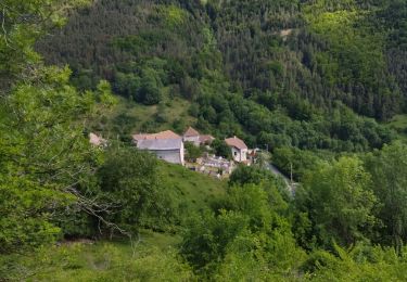
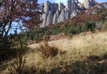
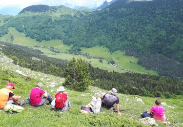
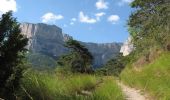
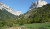
Trail Walking Châtillon-en-Diois - GTV - Tour du Vercors à pied - Les Nonnières - Châtillon en Diois  - Photo

GTV - Tour du Vercors à pied - Les Nonnières - Châtillon en Diois

 tracegps
tracegps

User

© OpenStreetMap contributors
Length
Length
22 km
Max alt
Max alt
1147 m
Uphill gradient
Uphill gradient
1219 m
Km-Effort
Km-Effort  
39 km
Min alt
Min alt
579 m
Downhill gradient
Downhill gradient
1498 m
Boucle
Boucle
No
Creation date :
2014-12-10 00:00:00.0
Updated on :
2014-12-10 00:00:00.0

(0 Reviews)

Walking
Walking
6h40
Difficulty : Difficult

Scan this QR Code to open this trail in the SityTrail application

FREE GPS app for hiking

Logo SityTrail SityTrail

IGN / Geographical institutes

Download SityTrail from the App Store Download SityTrail from Google Play

Logo SityTrail SityTrail World

The world is yours!

Download SityTrail from the App Store Download SityTrail from Google Play Download SityTrail on Huawei AppGallery

About

Trail Walking of 22 km to be discovered at Auvergne-Rhône-Alpes, Drôme, Châtillon-en-Diois. This trail is proposed by tracegps.

Description

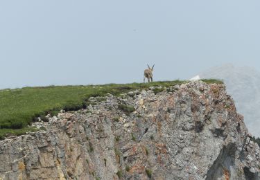
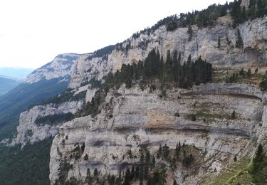
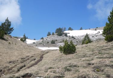
GTV - Tour du Vercors à pied - Les Nonnières - Châtillon en Diois. Ce tronçon donne l’occasion de visiter le cirque d’Archiane, l’un des sites phare du Vercors. L’itinéraire, sans difficulté notable, emprunte un chemin forestier depuis Les Nonnières jusqu’à Benevise, puis un joli sentier de Benevise à Archiane, et enfin une piste d’Archiane à Châtillon en Diois. Archiane est une des portes les plus importantes pour accéder à la Réserve des Grands Plateaux. Tracé officiel labellisé GTV. Le découpage proposé est indicatif et les tronçons ne sont pas imposés. Construisez autour votre propre itinéraire en fonction de votre forme physique et des conditions climatiques. Pour vous aider, consultez les informations de Vercors-GTV.com et retrouvez les itinéraires en détail dans les topo-guides du Parc.

Elevation profile

Photos

Positioning

Country:
France
Region :
Auvergne-Rhône-Alpes
Department/Province :
Drôme
Municipality :
Châtillon-en-Diois
Location:
Treschenu-Creyers
Start:(UTM)
702307 ; 4956998 (31T) N.

Trails nearby

Trail Walking Châtillon-en-Diois - 2015-05-30 11:51 - Photo
Walking
randochu

Walking

Very difficult
(1)
Châtillon-en-Diois, Auvergne-Rhône-Alpes, Drôme, France
13 km | 28 km-effort
6h 20min
Yes
Trail Walking Châtillon-en-Diois - Combau-TêteChevalière 05-05-2018 - Photo
Walking
Philindy26

Walking

Easy
(4)
Châtillon-en-Diois, Auvergne-Rhône-Alpes, Drôme, France
10.2 km | 17.1 km-effort
4h 0min
Yes
Trail Walking Châtillon-en-Diois - F26 Combau Fontaine Pourrie - Photo
Walking
ageo

Walking

Medium
(1)
Châtillon-en-Diois, Auvergne-Rhône-Alpes, Drôme, France
17 km | 29 km-effort
6h 9min
Yes
Trail Walking Châtillon-en-Diois - 26 vallon combeau - Photo
Walking
GUIDE
randodyssée

Walking

Medium
Châtillon-en-Diois, Auvergne-Rhône-Alpes, Drôme, France
13.3 km | 24 km-effort
6h 48min
Yes
Trail Walking Châtillon-en-Diois - 26 grimone j1 - Photo
Walking
GUIDE
randodyssée

Walking

Easy
Châtillon-en-Diois, Auvergne-Rhône-Alpes, Drôme, France
14.9 km | 26 km-effort
6h 15min
No
Trail Walking Châtillon-en-Diois - Les crêtes du cirque d'Archiane - Photo
Walking
GUIDE
nadd73

Walking

Difficult
Châtillon-en-Diois, Auvergne-Rhône-Alpes, Drôme, France
23 km | 41 km-effort
6h 35min
Yes
Trail Walking Châtillon-en-Diois - 2017-06-04 15:45:22 - Photo
Walking
randochu

Walking

Medium
(1)
Châtillon-en-Diois, Auvergne-Rhône-Alpes, Drôme, France
11.4 km | 19.9 km-effort
Unknown
Yes
Trail Walking Châtillon-en-Diois - La boucle du Mont Barral - Photo
Walking
GUIDE
R@ph

Walking

Difficult
Châtillon-en-Diois, Auvergne-Rhône-Alpes, Drôme, France
7.5 km | 14.9 km-effort
3h 7min
Yes
Trail Walking Châtillon-en-Diois - Vercors - Archiane - Cirque par les crêtes 21km D+1260m - Photo
Walking
manumax

Walking

Very difficult
(2)
Châtillon-en-Diois, Auvergne-Rhône-Alpes, Drôme, France
21 km | 38 km-effort
7h 55min
Yes


Close
My subscriptions