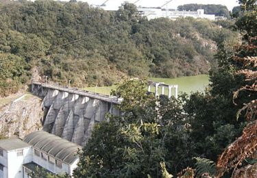
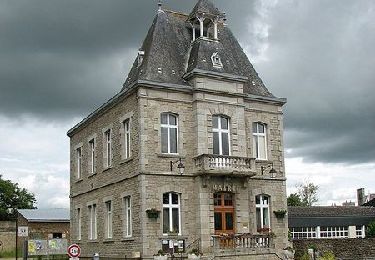
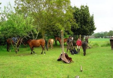
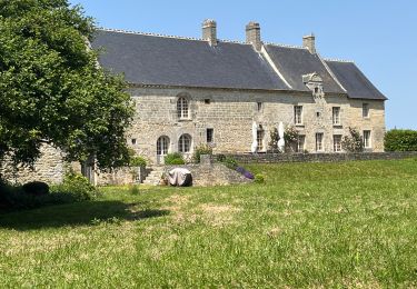
Trail Walking Saint-Juvat - Autour de Saint Juvat  - Photo

Autour de Saint Juvat

 tracegps
tracegps

User

© OpenStreetMap contributors
Length
Length
12.6 km
Max alt
Max alt
58 m
Uphill gradient
Uphill gradient
125 m
Km-Effort
Km-Effort  
14.3 km
Min alt
Min alt
16 m
Downhill gradient
Downhill gradient
124 m
Boucle
Boucle
Yes
Creation date :
2014-12-10 00:00:00.0
Updated on :
2014-12-10 00:00:00.0

(0 Reviews)

Walking
Walking
3h10
Difficulty : Difficult

Scan this QR Code to open this trail in the SityTrail application

FREE GPS app for hiking

Logo SityTrail SityTrail

IGN / Geographical institutes

Download SityTrail from the App Store Download SityTrail from Google Play

Logo SityTrail SityTrail World

The world is yours!

Download SityTrail from the App Store Download SityTrail from Google Play Download SityTrail on Huawei AppGallery

About

Trail Walking of 12.6 km to be discovered at Brittany, Côtes-d'Armor, Saint-Juvat. This trail is proposed by tracegps.

Description

Une trentaine de communes portent le label "Communes du Patrimoine Rural de Bretagne" et mettent en commun leur volonté de sauvegarde, de mise en valeur et d'animation de leur patrimoine architectural et paysager. Des circuits de randonnées pour les uns, des balades champêtres pour les autres vous feront découvrir les bourgs et les villages de caractère de nos communes. Vous découvrirez à SAINT-JUVAT un fleurissement varié, spectaculaire et d'une grande beauté qui lui a valu le renouvellement de son Grand Prix National de Fleurissement en 2005. Ce fleurissement met en valeur l'architecture ancienne et traditionnelle. De nombreux gîtes ruraux, une aire de camping, des commerces permettent de passer un agréable séjour à SAINT-JUVAT. Départ de l'église de Saint-Juvat. Retrouvez la fiche du circuit sur le site des Communes du Patrimoine Rural de Bretagne.

Elevation profile

Photos

Positioning

Country:
France
Region :
Brittany
Department/Province :
Côtes-d'Armor
Municipality :
Saint-Juvat
Location:
Unknown
Start:(UTM)
570845 ; 5356009 (30U) N.

Trails nearby

Trail Walking Guenroc - Circuit de Guenroc    - Photo
Walking
tracegps

Walking

Medium
Guenroc, Brittany, Côtes-d'Armor, France
7.6 km | 9 km-effort
2h 0min
Yes
Trail Walking Évran - Chemin des Beaumanoir -  Évran - Photo
Walking
tracegps

Walking

Easy
Évran, Brittany, Côtes-d'Armor, France
6.2 km | 6.7 km-effort
1h 30min
Yes
Trail Mountain bike Trévron - Circuit de la Croix Celtique - Trévron - Photo
Mountain bike
tracegps

Mountain bike

Easy
Trévron, Brittany, Côtes-d'Armor, France
11.5 km | 13 km-effort
1h 0min
Yes
Trail Walking Trévron - Circuit de la Croix Celtique - Trévron - Photo
Walking
tracegps

Walking

Medium
Trévron, Brittany, Côtes-d'Armor, France
11.5 km | 13 km-effort
2h 49min
Yes
Trail Equestrian Évran - Evran - Bécherel - Equibreizh - Photo
Equestrian
tracegps

Equestrian

Medium
Évran, Brittany, Côtes-d'Armor, France
15.4 km | 17.7 km-effort
1h 30min
No
Trail Walking Guenroc - 22-15-Barrage de Rophémel - Photo
Walking
ccc.martin

Walking

Very difficult
Guenroc, Brittany, Côtes-d'Armor, France
16.6 km | 21 km-effort
6h 39min
Yes
Trail Walking Saint-Juvat - La hautiere st-Juvat  - Photo
Walking
filite

Walking

Medium
Saint-Juvat, Brittany, Côtes-d'Armor, France
6.6 km | 7.5 km-effort
1h 38min
Yes
Trail Walking Brusvily - Pont Ruffier Marie 2 - Photo
Walking
LeonEvain

Walking

Easy
Brusvily, Brittany, Côtes-d'Armor, France
13.8 km | 16.3 km-effort
1h 21min
No
Trail Walking Brusvily - Pont Ruffier Marie 1 - Photo
Walking
LeonEvain

Walking

Easy
Brusvily, Brittany, Côtes-d'Armor, France
13 km | 15.4 km-effort
1h 21min
No


Close
My subscriptions