


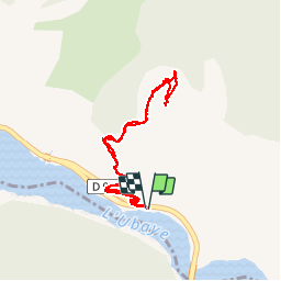

10.6 km | 21 km-effort


User


FREE GPS app for hiking
 SityTrail
IGN / Geographical institutes
SityTrail World
The world is yours!
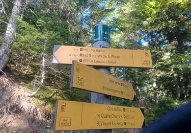
Trail Walking of 3.9 km to be discovered at Provence-Alpes-Côte d'Azur, Alpes-de-Haute-Provence, Le Lauzet-Ubaye. This trail is proposed by Dervalmarc.
Gîte restauré par le conservatoire du Littoral.
Dominé par les falaises li se trouve à mi hauteur sur le versant méridional du grand Morgon.
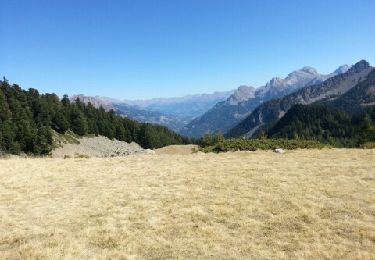
Il offre une vue aérienne splendide de la branche Ubayenne du lac de Serre Poncon.


Walking
Walking

Walking

Walking
Walking
Walking

Walking
Walking

Walking