


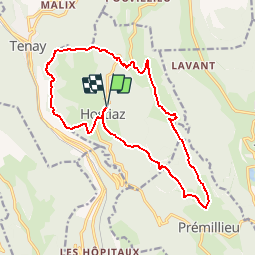

21 km | 31 km-effort


User


FREE GPS app for hiking
 SityTrail
IGN / Geographical institutes
SityTrail World
The world is yours!
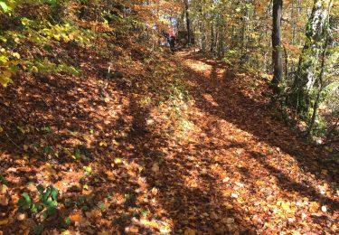
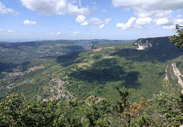
Trail Walking of 17.4 km to be discovered at Auvergne-Rhône-Alpes, Ain, Plateau d'Hauteville. This trail is proposed by CharlesXI.
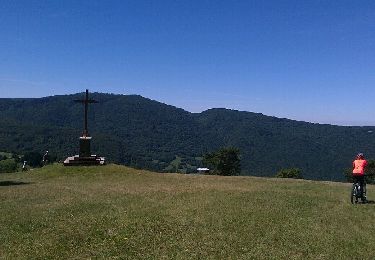
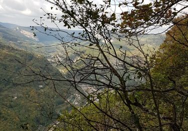
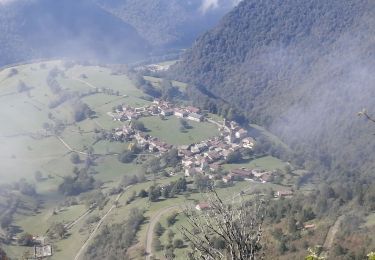
Randonnée en grande partie en bordure de falaise.Belle vue sur le Grand Colombier et les alpes. Variante possible par sur Roche et la Joux ( 2 km)
Mountain bike
Walking
Walking
Walking
Walking
Walking
Walking

Walking
Walking