Trail Walking Preyssac-d'Excideuil - Boucle du tacot à Preyssac d'Excideuil - Photo

Boucle du tacot à Preyssac d'Excideuil

 tracegps
tracegps

User

© OpenStreetMap contributors
Length
Length
7.9 km
Max alt
Max alt
326 m
Uphill gradient
Uphill gradient
126 m
Km-Effort
Km-Effort  
9.6 km
Min alt
Min alt
245 m
Downhill gradient
Downhill gradient
129 m
Boucle
Boucle
Yes
Creation date :
2014-12-10 00:00:00.0
Updated on :
2014-12-10 00:00:00.0

(0 Reviews)

Walking
Walking
2h00
Difficulty : Easy

Scan this QR Code to open this trail in the SityTrail application

FREE GPS app for hiking

Logo SityTrail SityTrail

IGN / Geographical institutes

Download SityTrail from the App Store Download SityTrail from Google Play

Logo SityTrail SityTrail World

The world is yours!

Download SityTrail from the App Store Download SityTrail from Google Play Download SityTrail on Huawei AppGallery

About

Trail Walking of 7.9 km to be discovered at New Aquitaine, Dordogne, Preyssac-d'Excideuil. This trail is proposed by tracegps.

Description

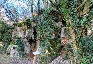
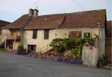
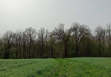
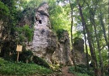
Circuit proposé par le comité d'animation touristique et culturelle du Pays de Lanouaille. Départ place de l’église au clocher-mur du XIIIème siècle. Ancienne gare du « tacot » qui va être restaurée par la commune. Le « tacot » était un petit train qui parcourut la ligne Périgueux-Saint-Yrieix-la-Perche de 1887 à 1949. L’ancienne voie fut aménagée en route ou chemin ou achetée par des particuliers. Le circuit emprunte aussi une ancienne route rectiligne dite « Napoléon » (Limoges Cahors) peut-être d’origine romaine à travers bois. Retour en surplomb du village et son lavoir à « banches » de pierre.

Elevation profile

Photos

Positioning

Country:
France
Region :
New Aquitaine
Department/Province :
Dordogne
Municipality :
Preyssac-d'Excideuil
Location:
Unknown
Start:(UTM)
351376 ; 5022193 (31T) N.

Trails nearby

Trail Walking Saint-Raphaël - St Raphaël variante Pontillau Qincallou10km - Photo
Walking
YV24

Walking

Easy
(1)
Saint-Raphaël, New Aquitaine, Dordogne, France
10.2 km | 14 km-effort
2h 59min
Yes
Trail Walking Excideuil - boucle spéciale Excideuil - Photo
Walking
NICOLEROBERT

Walking

Medium
Excideuil, New Aquitaine, Dordogne, France
9.3 km | 11.5 km-effort
2h 38min
Yes
Trail Mountain bike Preyssac-d'Excideuil - Boucle du tacot à Preyssac d'Excideuil - Photo
Mountain bike
tracegps

Mountain bike

Easy
Preyssac-d'Excideuil, New Aquitaine, Dordogne, France
7.9 km | 9.6 km-effort
1h 0min
Yes
Trail Walking Excideuil - Sentier Karstique les Roches Enchantées - Excideuil - Photo
Walking
tracegps

Walking

Medium
(2)
Excideuil, New Aquitaine, Dordogne, France
9.4 km | 11.2 km-effort
2h 45min
Yes
Trail Walking Génis - Rand'Auvezere - Photo
Walking
NICOLEROBERT

Walking

Difficult
Génis, New Aquitaine, Dordogne, France
11.4 km | 15.9 km-effort
3h 8min
Yes
Trail Walking Anlhiac - petite boucle - Photo
Walking
joebarlille

Walking

Medium
Anlhiac, New Aquitaine, Dordogne, France
8.4 km | 10.7 km-effort
1h 42min
No
Trail Walking Excideuil - Boucle d'Excideuil - Photo
Walking
CC.RIDER

Walking

Difficult
Excideuil, New Aquitaine, Dordogne, France
11.7 km | 14.3 km-effort
3h 14min
Yes
Trail On foot Excideuil - Excideuil les chemins des meuniers - Photo
On foot
CC.RIDER

On foot

Easy
Excideuil, New Aquitaine, Dordogne, France
12 km | 14.7 km-effort
3h 20min
Yes
Trail Walking Anlhiac - dudule - Photo
Walking
bidnick

Walking

Very easy
Anlhiac, New Aquitaine, Dordogne, France
5.7 km | 7.4 km-effort
1h 5min
No


Close
My subscriptions