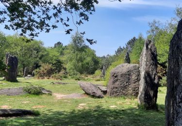
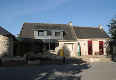
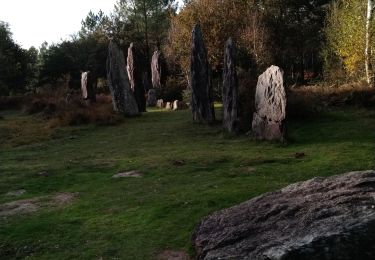
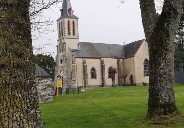
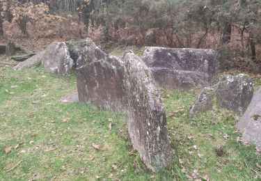
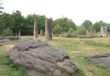
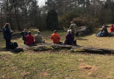
Trail Walking Porcaro - Boucle de la vallée de l'Oyon - Porcaro - Photo

Boucle de la vallée de l'Oyon - Porcaro

 tracegps
tracegps

User

© OpenStreetMap contributors
Length
Length
11 km
Max alt
Max alt
161 m
Uphill gradient
Uphill gradient
178 m
Km-Effort
Km-Effort  
13.4 km
Min alt
Min alt
38 m
Downhill gradient
Downhill gradient
193 m
Boucle
Boucle
No
Creation date :
2014-12-10 00:00:00.0
Updated on :
2014-12-10 00:00:00.0

(0 Reviews)

Walking
Walking
4h45
Difficulty : Medium

Scan this QR Code to open this trail in the SityTrail application

FREE GPS app for hiking

Logo SityTrail SityTrail

IGN / Geographical institutes

Download SityTrail from the App Store Download SityTrail from Google Play

Logo SityTrail SityTrail World

The world is yours!

Download SityTrail from the App Store Download SityTrail from Google Play Download SityTrail on Huawei AppGallery

About

Trail Walking of 11 km to be discovered at Brittany, Morbihan, Porcaro. This trail is proposed by tracegps.

Description

Point de départ : maison des motards, bourg de Porcaro (coordonnées GPS : 02°11’57’’O / 47°54’33’’N) Distance : 16 km - 4 h 45 A voir en chemin : 1. L’étang de la Priaudais : la tranquillité du lieu vous invite à en faire le tour et ainsi vous plonger dans la vallée de l’Oyon. 2. Le Prieuré Saint-Étienne : cet ancien grand village est l’un des principaux centres historiques du Pays de Guer. La chapelle, la plus ancienne du Morbihan (832) est classée Monument Historique. Durant la période gallo-romaine, St Etienne fut un centre administratif, militaire et résidentiel d’importance. 3. La Pierre Tremblante : non reconnu officiellement comme monument mégalithique, ce site n’en demeure pas moins mystérieux avec la fontaine limpide, sa table à sacrifice et surtout un énorme bloc en pierre. 4. La Tête de Gore : émergence rocheuse remarquable par son abrupt belvédère qui domine le cours de l’Oyon. Contact Office de tourisme du Pays de Guer-Coëtquidan - 02 97 22 04 78 – email :contact (at)guer-coetquidan-tourisme.com

Elevation profile

Positioning

Country:
France
Region :
Brittany
Department/Province :
Morbihan
Municipality :
Porcaro
Location:
Unknown
Start:(UTM)
559858 ; 5306564 (30T) N.

Trails nearby

Trail Walking Monteneuf - PR_56_Monteneuf_AA_01_Circuit1b_Boucle-Des-Megalithes_20220508 - Photo
Walking
patrickdanilo

Walking

Easy
Monteneuf, Brittany, Morbihan, France
11.1 km | 12.9 km-effort
2h 58min
Yes
Trail On foot Monteneuf - La Boucle du Chaperon-Rouge - Photo
On foot
GUIDE+

On foot

Easy
Monteneuf, Brittany, Morbihan, France
7 km | 7.7 km-effort
1h 45min
No
Trail Walking Monteneuf - alignement Monteneuf - Photo
Walking
motardfou.dgs

Walking

Very easy
Monteneuf, Brittany, Morbihan, France
11.8 km | 13.6 km-effort
2h 40min
Yes
Trail Walking Porcaro - 214- rando de la vallée de l'Oyon par Porcaro  - Photo
Walking
Pierre-yves Leclerc

Walking

Easy
Porcaro, Brittany, Morbihan, France
13.5 km | 16.4 km-effort
3h 22min
Yes
Trail Walking Monteneuf - monteneuf randoplo - Photo
Walking
bourdet

Walking

Difficult
Monteneuf, Brittany, Morbihan, France
11.7 km | 13.8 km-effort
3h 23min
Yes
Trail On foot Monteneuf - Boucle de l'étang de Quéhéon - Photo
On foot
GUIDE+

On foot

Easy
Monteneuf, Brittany, Morbihan, France
4.6 km | 5.3 km-effort
1h 12min
Yes
Trail On foot Monteneuf - Boucle de la pièce couverte - Photo
On foot
GUIDE+

On foot

Easy
Monteneuf, Brittany, Morbihan, France
4.1 km | 5.1 km-effort
1h 8min
Yes
Trail On foot Monteneuf - Boucle de la loge Morinais - Photo
On foot
GUIDE+

On foot

Easy
Monteneuf, Brittany, Morbihan, France
4.1 km | 4.7 km-effort
1h 4min
Yes
Trail Walking Monteneuf - Monteneuf  - Photo
Walking
bourdet

Walking

Monteneuf, Brittany, Morbihan, France
10.5 km | 12.8 km-effort
3h 0min
No


Close
My subscriptions