


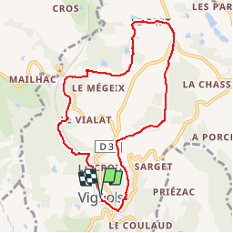

8.3 km | 11.9 km-effort

User


FREE GPS app for hiking
 SityTrail
IGN / Geographical institutes
SityTrail World
The world is yours!
Trail Mountain bike of 8.6 km to be discovered at New Aquitaine, Corrèze, Vignols. This trail is proposed by tracegps.
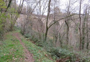
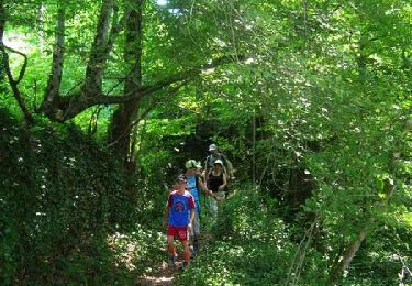
Le Bert - Vignols - Pays Vézère Auvézère. Passer devant les anciennes carrières d’ardoise (site Natura 2000). A voir sur le circuit, le plus haut des 7 Viaducs, ouvrage remarquable construit en 1872. Il possède 8 arches de 25 m pour une longueur de 285 m et une hauteur de 58 m. Téléchargez la fiche du circuit sur le site du Conseil Général de la Corrèze. Renseignements : Mairie de Vignols 05.55.25.81.99

Walking

Walking

Walking

Walking

Walking
Walking
Walking
Equestrian

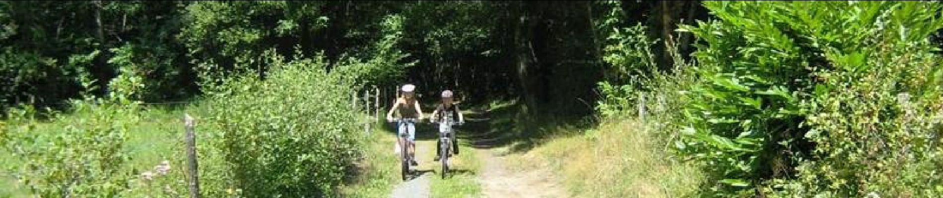
Mountain bike