


15.2 km | 17.3 km-effort

User


FREE GPS app for hiking
 SityTrail
IGN / Geographical institutes
SityTrail World
The world is yours!
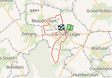
Trail Walking of 11.8 km to be discovered at Hauts-de-France, Pas-de-Calais, Sus-Saint-Léger. This trail is proposed by tracegps.
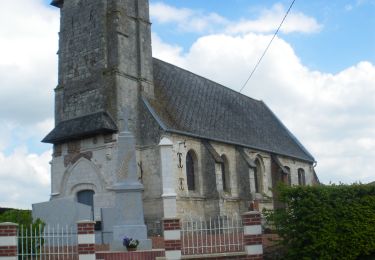
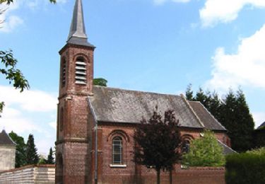
Circuit proposé par la communauté de Communes des 2 sources. Départ de la salle des fêtes de Sus-Saint-Léger Un arbre situé en bordure de la commune fut frappé par la foudre mais continua à croître de plus belle. Une petite statuette de l’enfant Jésus fut alors placée en son tronc. Depuis lors, cet arbre est appelé le Petit Dieu. Retrouvez le circuit et son descriptif sur le site de la Communauté de Communes des 2 sources.


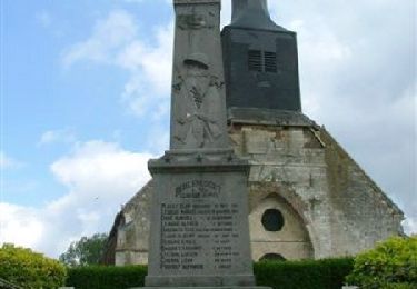
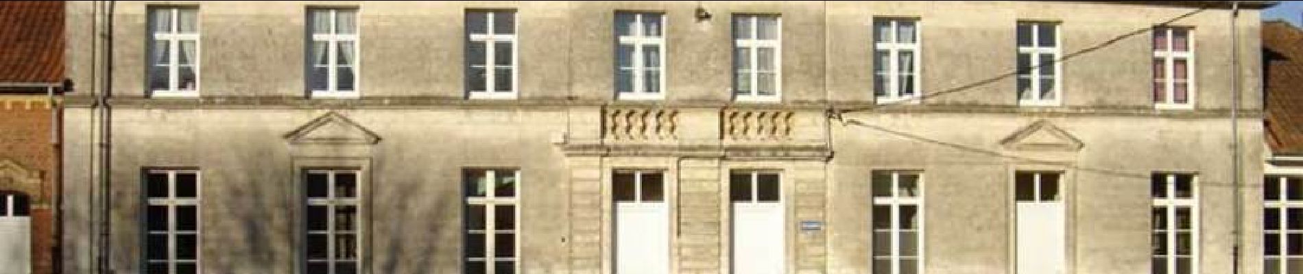
Walking
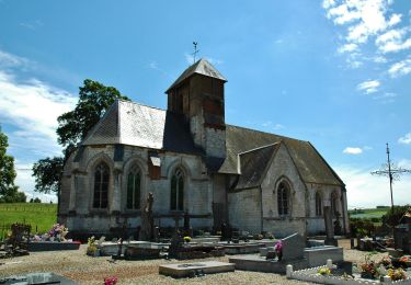
Walking
Walking
Walking
Walking

Walking
Walking
Walking
Walking