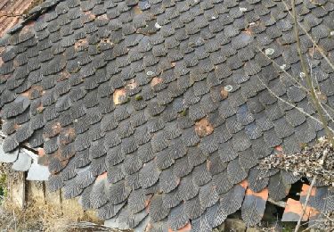
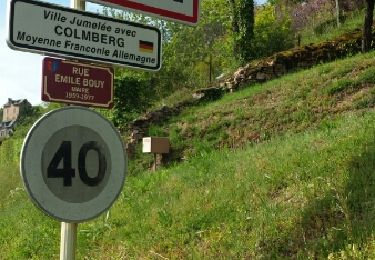
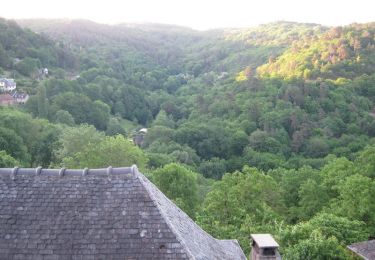
Trail Walking Saint-Hilaire-Peyroux - De crêtes en vallons 10 km - Saint Hilaire Peyroux - Pays de Tulle  - Photo

De crêtes en vallons 10 km - Saint Hilaire Peyroux - Pays de Tulle

 tracegps
tracegps

User

© OpenStreetMap contributors
Length
Length
9.9 km
Max alt
Max alt
388 m
Uphill gradient
Uphill gradient
307 m
Km-Effort
Km-Effort  
14 km
Min alt
Min alt
216 m
Downhill gradient
Downhill gradient
313 m
Boucle
Boucle
Yes
Creation date :
2014-12-10 00:00:00.0
Updated on :
2014-12-10 00:00:00.0

(0 Reviews)

Walking
Walking
3h00
Difficulty : Difficult

Scan this QR Code to open this trail in the SityTrail application

FREE GPS app for hiking

Logo SityTrail SityTrail

IGN / Geographical institutes

Download SityTrail from the App Store Download SityTrail from Google Play

Logo SityTrail SityTrail World

The world is yours!

Download SityTrail from the App Store Download SityTrail from Google Play Download SityTrail on Huawei AppGallery

About

Trail Walking of 9.9 km to be discovered at New Aquitaine, Corrèze, Saint-Hilaire-Peyroux. This trail is proposed by tracegps.

Description

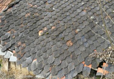
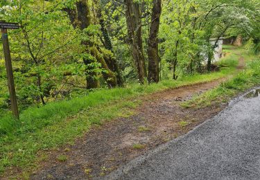
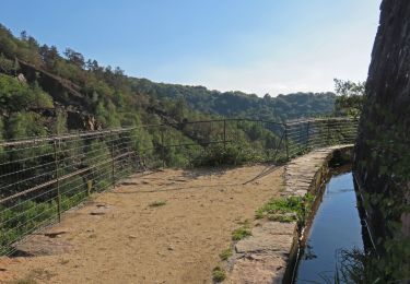
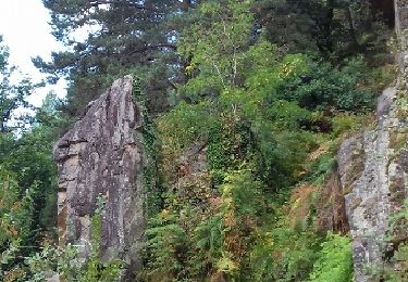
De crêtes en vallons 10 km - Saint Hilaire Peyroux - Pays de Tulle. Vous cheminerez dans la vallée de la Couze et sur les crêtes qui dominent notre commune… Au Puy de Leyrat, juste avant le village de Vieillefond, panorama à 180 ° sur la basse Corrèze. Sur votre circuit : 2 anciens moulins à eau, à Bourguet, et à Saquet. Téléchargez la fiche du circuit sur le site du Conseil Général de la Corrèze. Renseignements : Mairie de St Hilaire Peyroux 05.55.25.72.11

Elevation profile

Photos

Positioning

Country:
France
Region :
New Aquitaine
Department/Province :
Corrèze
Municipality :
Saint-Hilaire-Peyroux
Location:
Unknown
Start:(UTM)
393885 ; 5007531 (31T) N.

Trails nearby

Trail Walking Malemort - venarsal - Photo
Walking
mickael19

Walking

Very easy
(2)
Malemort, New Aquitaine, Corrèze, France
7.7 km | 11.3 km-effort
2h 30min
Yes
Trail Walking Aubazines - coiroux - Photo
Walking
GUIDE
Nordic33

Walking

Very difficult
Aubazines, New Aquitaine, Corrèze, France
18.2 km | 24 km-effort
6h 43min
Yes
Trail Walking Aubazines - Reco-Lac de Coiroux-2024-04-25 - Photo
Walking
GUIDE
Nordic33

Walking

Difficult
Aubazines, New Aquitaine, Corrèze, France
18.1 km | 24 km-effort
6h 19min
Yes
Trail Walking Aubazines - Aubazine- Puy de Pauliac-Canal - Photo
Walking
houbart

Walking

Difficult
Aubazines, New Aquitaine, Corrèze, France
10 km | 13.9 km-effort
3h 6min
Yes
Trail Trail Aubazines - 20200119 aubazine Coiroux P pauliac 12.5 K - Photo
Trail
bcarpentier

Trail

Easy
Aubazines, New Aquitaine, Corrèze, France
11.9 km | 17.2 km-effort
2h 0min
Yes
Trail Walking Aubazines - Lac du Coiroux, Aubazine, Canal des Moines - Photo
Walking
nicolibris

Walking

Medium
Aubazines, New Aquitaine, Corrèze, France
8.3 km | 10.8 km-effort
2h 45min
Yes
Trail Walking Malemort - Venarsal les 4 moulins - Photo
Walking
mickael19

Walking

Medium
Malemort, New Aquitaine, Corrèze, France
7.7 km | 11.3 km-effort
2h 30min
Yes
Trail Walking Aubazines - Aubazines (19) 7.05.2016 - Photo
Walking
reva17

Walking

Medium
Aubazines, New Aquitaine, Corrèze, France
14.4 km | 19.7 km-effort
4h 37min
Yes
Trail Walking Aubazines - Du Coiroux à Aubazines - Photo
Walking
tracegps

Walking

Medium
Aubazines, New Aquitaine, Corrèze, France
4.7 km | 6 km-effort
2h 30min
No


Close
My subscriptions