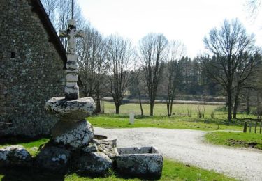
Trail Walking Mestes - La Bujada - Mestes - Pays de Haute Corrèze - Photo

La Bujada - Mestes - Pays de Haute Corrèze

 tracegps
tracegps

User

© OpenStreetMap contributors
Length
Length
6.8 km
Max alt
Max alt
665 m
Uphill gradient
Uphill gradient
166 m
Km-Effort
Km-Effort  
9 km
Min alt
Min alt
578 m
Downhill gradient
Downhill gradient
166 m
Boucle
Boucle
Yes
Creation date :
2014-12-10 00:00:00.0
Updated on :
2014-12-10 00:00:00.0

(0 Reviews)

Walking
Walking
2h30
Difficulty : Difficult

Scan this QR Code to open this trail in the SityTrail application

FREE GPS app for hiking

Logo SityTrail SityTrail

IGN / Geographical institutes

Download SityTrail from the App Store Download SityTrail from Google Play

Logo SityTrail SityTrail World

The world is yours!

Download SityTrail from the App Store Download SityTrail from Google Play Download SityTrail on Huawei AppGallery

About

Trail Walking of 6.8 km to be discovered at New Aquitaine, Corrèze, Mestes. This trail is proposed by tracegps.

Description

La Bujada - Mestes - Pays de Haute Corrèze Au bord du ruisseau, tout prés du lavoir ou du fournil, laisser vous compter la bugeade ….. la grande lessive, organisée 2 à 3 fois l’année, était l’occasion de mettre en œuvre une multitude de pratiques sociales et rituelles afin de lutter contre nombre de croyances païennes … Téléchargez la fiche du circuit sur le site du Conseil Général de la Corrèze. Renseignements à l’Office de Tourisme d’Ussel ; 05.55.72.11.50

Elevation profile

Photos

Positioning

Country:
France
Region :
New Aquitaine
Department/Province :
Corrèze
Municipality :
Mestes
Location:
Unknown
Start:(UTM)
446450 ; 5038733 (31T) N.

Trails nearby

Trail Walking Valiergues - Ecolotonome - 8 km - Valiergues - Pays de Haute Corrèze  - Photo
Walking
tracegps

Walking

Medium
(1)
Valiergues, New Aquitaine, Corrèze, France
8.1 km | 9.8 km-effort
2h 0min
Yes
Trail Mountain bike Valiergues - Ecolotonome - 10 km - Valiergues - Pays de Haute Corrèze - Photo
Mountain bike
tracegps

Mountain bike

Medium
Valiergues, New Aquitaine, Corrèze, France
9.9 km | 11.9 km-effort
49min
Yes
Trail Walking Valiergues - Ecolotonome - 10 km - Valiergues - Pays de Haute Corrèze - Photo
Walking
tracegps

Walking

Difficult
Valiergues, New Aquitaine, Corrèze, France
9.9 km | 11.9 km-effort
2h 30min
Yes
Trail Mountain bike Valiergues - La serre 20 puit de sabat - Photo
Mountain bike
001951.89f3943ac4c74cd3a2ed4ab5cea31913.1745

Mountain bike

Difficult
Valiergues, New Aquitaine, Corrèze, France
32 km | 41 km-effort
2h 37min
Yes


Close
My subscriptions