


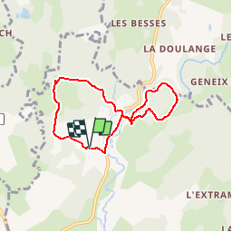

11.4 km | 15.5 km-effort

User


FREE GPS app for hiking
 SityTrail
IGN / Geographical institutes
SityTrail World
The world is yours!
Trail Walking of 6.4 km to be discovered at New Aquitaine, Corrèze, Ussel. This trail is proposed by tracegps.
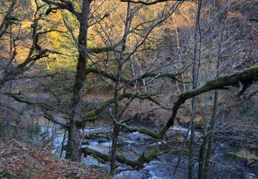
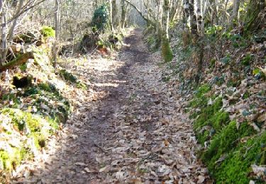
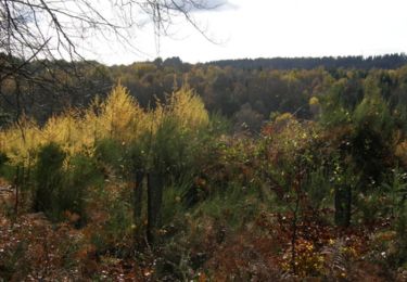
Puissance 3 variante - La Tourette - Pays de Haute Corrèze Centre de 3 énergies, la Tourette ! Les forces divines, si vous désirez la pluie. Le pouvoir féodal « pour votre protection ». La puissance hydraulique pour actionner moulins et même, cas unique, une scierie menuiserie complète… une 4ème puissance est omniprésente, la forêt, les arbres et le bois. Téléchargez la fiche du circuit sur le site du Conseil Général de la Corrèze. Renseignements à l’Office de Tourisme d’Ussel ; 05.55.72.11.50


sport
Walking

Walking
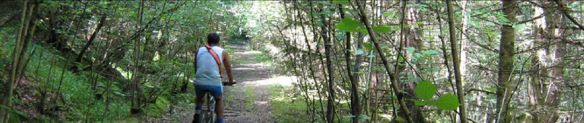
Mountain bike

Walking
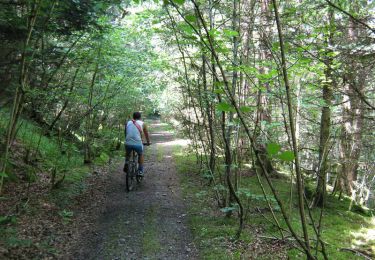
Mountain bike
Mountain bike

Walking