


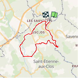

11.3 km | 15.6 km-effort

User


FREE GPS app for hiking
 SityTrail
IGN / Geographical institutes
SityTrail World
The world is yours!
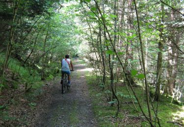
Trail Mountain bike of 13.6 km to be discovered at New Aquitaine, Corrèze, Merlines. This trail is proposed by tracegps.
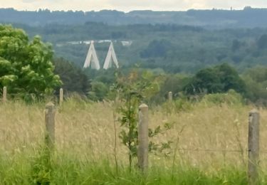
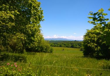
Lémovices ou Arvernes - Gare de Savennes 13 km - Pays de Haute Corrèze Voilà une vallée bien singulière… La faune, la flore et le climat sont ici plutôt auvergnats, l’architecture aussi ; l’exploitation de la chaux quant à elle se pratiquait dans les deux régions. Nous sommes bien à la frontière du Limousin et de l’Auvergne, dessinée ici par le Chavanon qui voulait dire « le creuseur » en vieux français. Ce site est exceptionnel par sa diversité, ses spécificités et les richesses de sa nature. Téléchargez la fiche du circuit sur le site du Conseil Général de la Corrèze. Renseignements à l’Office de Tourisme d’Ussel ; 05.55.72.11.50

Walking
Walking
Walking

On foot
Walking
Walking
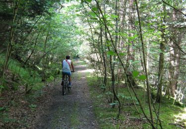
Mountain bike
Walking

Mountain bike