


13 km | 20 km-effort

User


FREE GPS app for hiking
 SityTrail
IGN / Geographical institutes
SityTrail World
The world is yours!
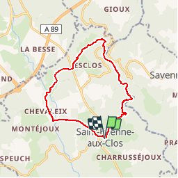
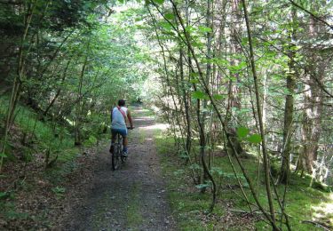
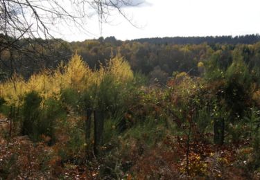
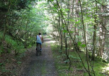
Trail Mountain bike of 12.7 km to be discovered at New Aquitaine, Corrèze, Saint-Étienne-aux-Clos. This trail is proposed by tracegps.
Lémovices ou Arvernes - Saint Etienne aux Clos 12,7 km- Pays de Haute Corrèze Immersion dans un site naturel remarquable « les gorges du Chavanon », site Natura 2000. Cortège floristique rare et unique en Limousin. Frontière administrative entre Limousin et Auvergne, mais aussi ancienne frontière historique entre Arvernes et Lémovices, un site chargé d’histoires où se déclinent des paysages grandioses sur les gorges du Chavanon et les monts d’Auvergne. Téléchargez la fiche du circuit sur le site du Conseil Général de la Corrèze. Renseignements à l’Office de Tourisme d’Ussel ; 05.55.72.11.50

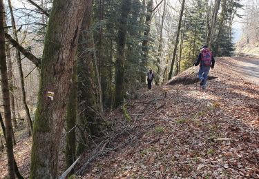
Walking

On foot
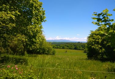
Walking

Mountain bike

Walking
Mountain bike

Walking
Walking
Mountain bike