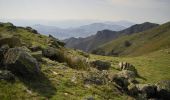

Massif du Baigura - Mendionde

tracegps
User

Length
8.6 km

Max alt
853 m

Uphill gradient
590 m

Km-Effort
16.5 km

Min alt
292 m

Downhill gradient
590 m
Boucle
Yes
Creation date :
2014-12-10 00:00:00.0
Updated on :
2014-12-10 00:00:00.0
4h00
Difficulty : Difficult

FREE GPS app for hiking
About
Trail Walking of 8.6 km to be discovered at New Aquitaine, Pyrénées-Atlantiques, Mendionde. This trail is proposed by tracegps.
Description
Randonnée de 8km et 600m de dénivelé. Le départ se fait depuis la Base de Loisirs du Baigura, entre Louhossoa et Hélette. Pour plus de renseignements : Office de Tourisme du Pays de Hasparren Tel : 05 59 29 62 02
Positioning
Country:
France
Region :
New Aquitaine
Department/Province :
Pyrénées-Atlantiques
Municipality :
Mendionde
Location:
Unknown
Start:(Dec)
Start:(UTM)
639294 ; 4796589 (30T) N.
Comments
Trails nearby
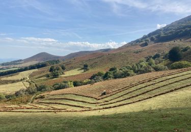
Mont Baigura


Walking
Medium
Macaye,
New Aquitaine,
Pyrénées-Atlantiques,
France

14.6 km | 27 km-effort
5h 9min
Yes
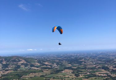
Baigura en Boucle 31/07/2022


Walking
Medium
Macaye,
New Aquitaine,
Pyrénées-Atlantiques,
France

12.4 km | 22 km-effort
4h 53min
Yes
le mont baïgura


Walking
Medium
Mendionde,
New Aquitaine,
Pyrénées-Atlantiques,
France

16.6 km | 0 m-effort
4h 30min
Yes
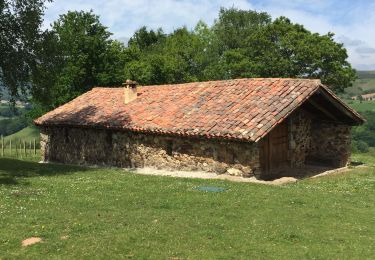
Baigura boucle


Walking
Medium
(1)
Macaye,
New Aquitaine,
Pyrénées-Atlantiques,
France

12.2 km | 22 km-effort
4h 3min
Yes
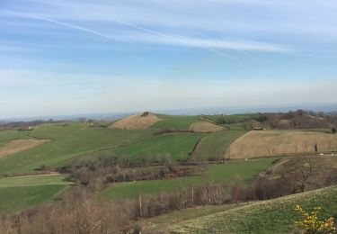
N’augura


Walking
Medium
Mendionde,
New Aquitaine,
Pyrénées-Atlantiques,
France

10.6 km | 18.9 km-effort
3h 38min
No

Mont Baïgura


Walking
Very easy
(1)
Mendionde,
New Aquitaine,
Pyrénées-Atlantiques,
France

9.6 km | 17.9 km-effort
3h 42min
Yes
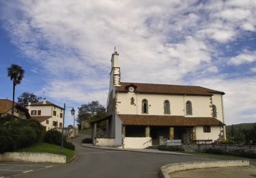
Hélette - St Martin d'Arbéroue


Equestrian
Difficult
Hélette,
New Aquitaine,
Pyrénées-Atlantiques,
France

15.6 km | 22 km-effort
3h 0min
No
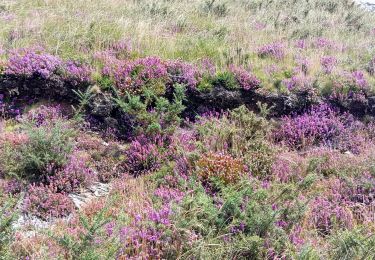
mont Baigura


Walking
Very difficult
Mendionde,
New Aquitaine,
Pyrénées-Atlantiques,
France

12.9 km | 22 km-effort
4h 53min
Yes
trizais


Walking
Very difficult
Mendionde,
New Aquitaine,
Pyrénées-Atlantiques,
France

294 km | 334 km-effort
2h 36min
No


 SityTrail


