


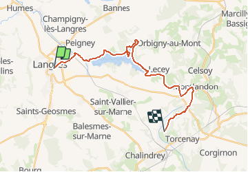

23 km | 28 km-effort


User


FREE GPS app for hiking
 SityTrail
IGN / Geographical institutes
SityTrail World
The world is yours!
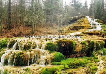
Trail Mountain bike of 23 km to be discovered at Grand Est, Haute-Marne, Langres. This trail is proposed by tracegps.
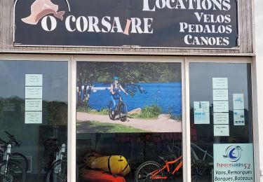
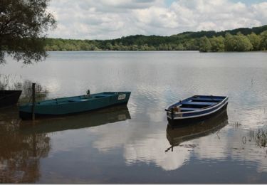
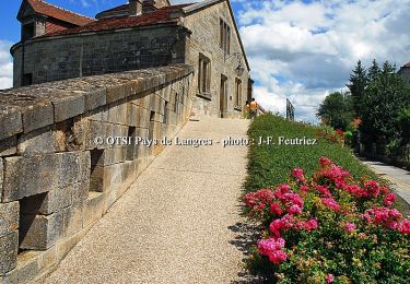
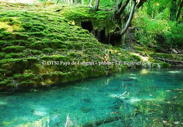
La Via Francigena – Traversée de la Haute Marne –de Langres à Culmont Cinquième étape. Téléchargez la fiche PDF du circuit. De multiples hébergements (hôtels, chambres d’hôtes, gîtes d’étapes …) ponctuent l’itinéraire de la Via Francigena en Haute-Marne. Pour en obtenir une liste, vous pouvez vous adresser au Comité Départemental du Tourisme et du Thermalisme.


Cycle
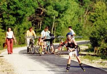
Walking
Walking
Hybrid bike

Mountain bike
Walking
Cycle
Cycle
Cycle