12.6 km | 15.8 km-effort
Le chant des Loups - Chanteloup
tracegps
User
Length
9 km
Max alt
72 m
Uphill gradient
106 m
Km-Effort
10.4 km
Min alt
25 m
Downhill gradient
106 m
Boucle
Yes
Creation date :
2014-12-10 00:00:00.0
Updated on :
2014-12-10 00:00:00.0
2h00
Difficulty : Medium
FREE GPS app for hiking
About
Trail Walking of 9 km to be discovered at Normandy, Manche, Chanteloup. This trail is proposed by tracegps.
Description
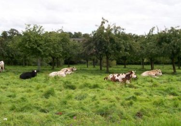
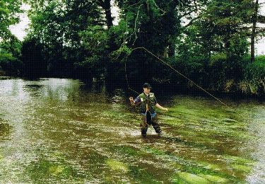
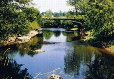
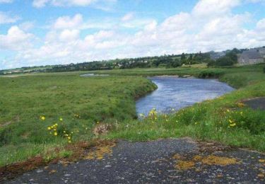
Départ de la place de la mairie de Chanteloup vers le village Duprey puis le Mesnil et retour par le Village Bouillon et Le Gaillarbois.
Positioning
Country:
France
Region :
Normandy
Department/Province :
Manche
Municipality :
Chanteloup
Location:
Unknown
Start:(Dec)
Start:(UTM)
610928 ; 5417318 (30U) N.
Comments
Trails nearby
Balade Sarah samedi
Horseback riding
Medium
Lingreville,
Normandy,
Manche,
France
19.7 km | 21 km-effort
45min
Yes
VTT de Cérences à Beauchamps
Mountain bike
Very difficult
Cérences,
Normandy,
Manche,
France
52 km | 65 km-effort
4h 0min
Yes
Le Moulin du Pont - Hudimesnil
Walking
Medium
(1)
Hudimesnil,
Normandy,
Manche,
France
14.8 km | 17.3 km-effort
3h 30min
Yes
La Chapelle Sainte Suzanne - Hudimesnil
Walking
Medium
Hudimesnil,
Normandy,
Manche,
France
5.2 km | 6.2 km-effort
1h 4min
Yes
La jambe de Loup - Le Loreur
Walking
Medium
Le Loreur,
Normandy,
Manche,
France
7 km | 8.3 km-effort
1h 30min
Yes
La Voie Romaine - Cérences
Walking
Medium
Cérences,
Normandy,
Manche,
France
6.6 km | 7.7 km-effort
1h 30min
Yes
Entre Batterel et Sienne - Cérences
Walking
Medium
Cérences,
Normandy,
Manche,
France
11.7 km | 14 km-effort
2h 19min
Yes
Les Vallons de Cérences
Walking
Medium
Cérences,
Normandy,
Manche,
France
19.3 km | 23 km-effort
4h 15min
Yes