


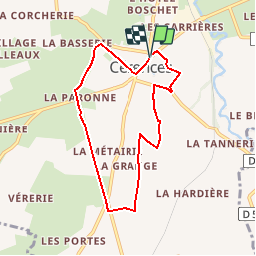

12.6 km | 15.8 km-effort


User


FREE GPS app for hiking
 SityTrail
IGN / Geographical institutes
SityTrail World
The world is yours!
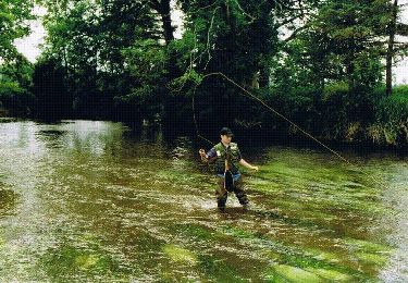
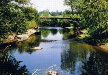
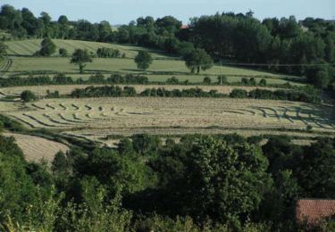
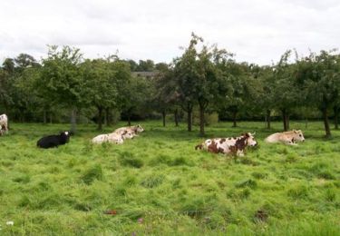
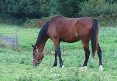
Trail Walking of 6.6 km to be discovered at Normandy, Manche, Cérences. This trail is proposed by tracegps.
Cérences se situe sur une ancienne voie romaine allant de Rennes (Condate) à Avranches (Legedia), Coutances (Cosedia Constantia) puis Valognes (Alauna). Selon Emile Vivier, cette voie aurait emprunté d'anciennes pistes gauloises, les romains en transformant quelques-unes en routes, en les pavant de larges dalles assurant ainsi leur solidité et leur durée. Encore en quelques endroits, elle porte le nom de « Chemin Perré » ou de "chemin Chaussé". (source Geneawiki)

Walking
Mountain bike
Walking
Walking
Walking

Walking
Walking
Walking
Walking