Trail Walking Lectoure - Bournaca - Lectoure - Photo

Bournaca - Lectoure

 tracegps
tracegps

User

© OpenStreetMap contributors
Length
Length
10.5 km
Max alt
Max alt
201 m
Uphill gradient
Uphill gradient
233 m
Km-Effort
Km-Effort  
13.6 km
Min alt
Min alt
85 m
Downhill gradient
Downhill gradient
230 m
Boucle
Boucle
Yes
Creation date :
2014-12-10 00:00:00.0
Updated on :
2014-12-10 00:00:00.0

(0 Reviews)

Walking
Walking
2h30
Difficulty : Medium

Scan this QR Code to open this trail in the SityTrail application

FREE GPS app for hiking

Logo SityTrail SityTrail

IGN / Geographical institutes

Download SityTrail from the App Store Download SityTrail from Google Play

Logo SityTrail SityTrail World

The world is yours!

Download SityTrail from the App Store Download SityTrail from Google Play Download SityTrail on Huawei AppGallery

About

Trail Walking of 10.5 km to be discovered at Occitania, Gers, Lectoure. This trail is proposed by tracegps.

Description

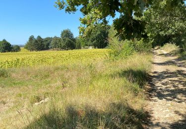
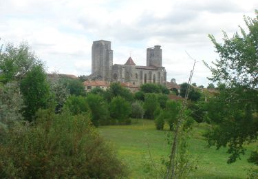
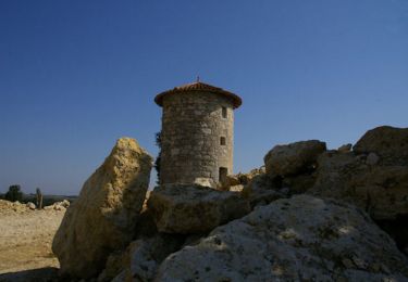
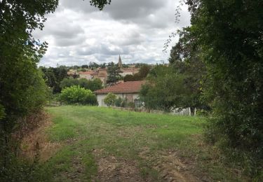
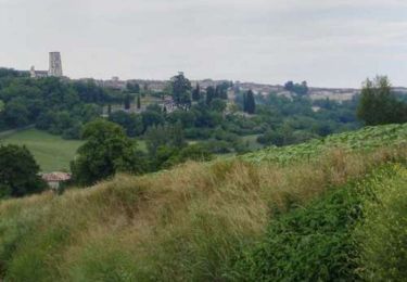
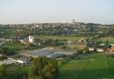
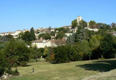
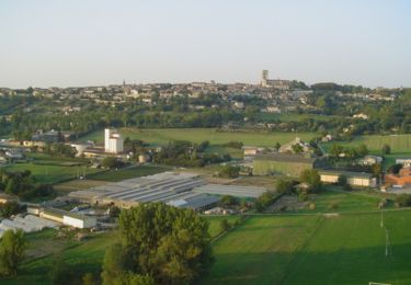
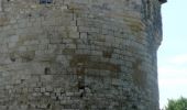
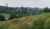
Bournaca – Lectoure La randonnée pour tous et en toute liberté… A 1 heure de Toulouse, découvrez un paysage gersois accueillant, pays du bien vivre et du « bonheur dans le pré ». Au cœur de notre douce Lomagne aux reflets de toscane, venez vous adonner aux joies de la randonnée pédestre et VTT. Les excellentes conditions climatiques et les qualités topographiques de nos campagnes ont permis de baliser plusieurs kilomètres de sentiers qui offrent, aux amateurs d’activités de plein air, un large choix de circuits pédestres et VTT. La communauté de communes surveille le balisage et l’entretien de ces chemins, et vous assure ainsi le plaisir de pratiquer la randonnée en toutes saisons. Départ de la Tour du Bourreau. Paysage typique lectourois, vue sur la cité, la chartreuse de Baqué, anciens moulins à eau et à vent… Circuit numérisé par la Communauté de Communes de la Lomagne Gersoise.

Elevation profile

Photos

Positioning

Country:
France
Region :
Occitania
Department/Province :
Gers
Municipality :
Lectoure
Location:
Unknown
Start:(Dec)
Start:(UTM)
309324 ; 4867478 (31T) N.

Trails nearby

Trail Walking Lectoure - GR65 Lectoure > La Romieu - Photo
Walking
choubaka77

Walking

Easy
Lectoure, Occitania, Gers, France
18.8 km | 24 km-effort
5h 53min
No
Trail Walking Lectoure - CC_Velay_ED_20_Lectoure_Castelnau-Auvignon_20080820 - Photo
Walking
patrickdanilo

Walking

Medium
Lectoure, Occitania, Gers, France
24 km | 30 km-effort
5h 45min
No
Trail Walking Lectoure - Lectoure - La Romieu - Chemin de Compostelle - Photo
Walking
tracegps

Walking

Very difficult
Lectoure, Occitania, Gers, France
19.6 km | 24 km-effort
7h 10min
No
Trail Walking Lectoure - 32-05-Au Cœur de Gascogne Auch-24km-102-5607- - Photo
Walking
rvs147

Walking

Medium
Lectoure, Occitania, Gers, France
24 km | 29 km-effort
6h 10min
No
Trail Walking Lectoure - espazot condom 13.7.2017  - Photo
Walking
mota.filipe

Walking

Very easy
Lectoure, Occitania, Gers, France
22 km | 27 km-effort
4h 50min
No
Trail Walking Lectoure - Lac des trois vallées - Lectoure - Photo
Walking
tracegps

Walking

Medium
(1)
Lectoure, Occitania, Gers, France
14.2 km | 18.3 km-effort
3h 30min
Yes
Trail Walking Lectoure - Groussan - Lectoure - Photo
Walking
tracegps

Walking

Medium
Lectoure, Occitania, Gers, France
4 km | 5.8 km-effort
1h 0min
Yes
Trail Walking Lectoure - Arton - Lectoure - Photo
Walking
tracegps

Walking

Difficult
Lectoure, Occitania, Gers, France
20 km | 25 km-effort
5h 0min
Yes
Trail Walking Lectoure - Les Galis - Lectoure - Photo
Walking
tracegps

Walking

Difficult
Lectoure, Occitania, Gers, France
17.9 km | 23 km-effort
4h 30min
Yes


Close
My subscriptions