


14.4 km | 17.2 km-effort


User


FREE GPS app for hiking
 SityTrail
IGN / Geographical institutes
SityTrail World
The world is yours!
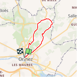
Trail Running of 10.8 km to be discovered at New Aquitaine, Pyrénées-Atlantiques, Orthez. This trail is proposed by tracegps.
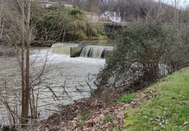
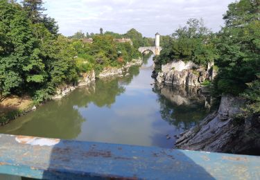
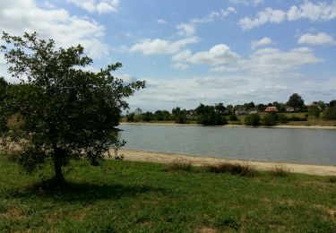
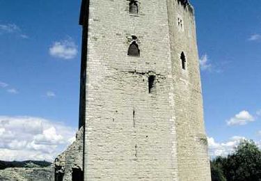
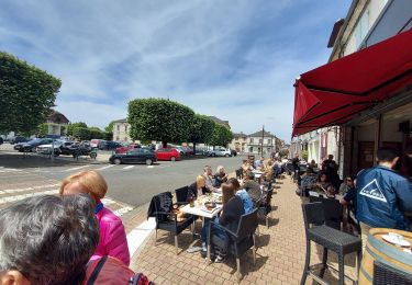
Ce circuit part de l'office de tourisme d'Orthez - Maison Jeanne d'Albret. Il monte vers la tour Moncade en longeant de nombreuses maisons anciennes. Puis il part à travers champs et à travers bois pour rejoindre le Chemin de Saint jacques de Compostelle : voie de Vézelay pour retourner à Orthez. Ce circuit propose un belvédère dans le bois de Laqueyre avec possibilité de très jolis panoramas sur la chaîne des Pyrénées et la vielle ville d'Orthez. Une cache de geocaching est installée sur ce parcours.


Walking
On foot
Walking
Walking
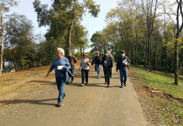
Walking

Mountain bike
Walking
Walking
Walking