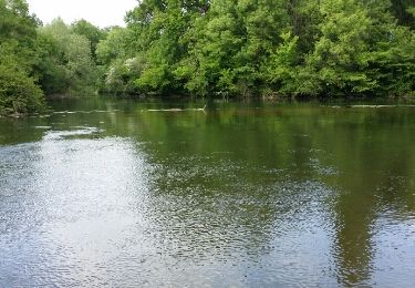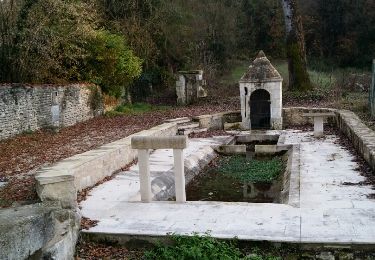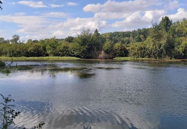

Circuit de Vindelle

tracegps
User

Length
9.3 km

Max alt
116 m

Uphill gradient
176 m

Km-Effort
11.6 km

Min alt
38 m

Downhill gradient
170 m
Boucle
Yes
Creation date :
2014-12-10 00:00:00.0
Updated on :
2014-12-10 00:00:00.0
2h19
Difficulty : Medium

FREE GPS app for hiking
About
Trail Walking of 9.3 km to be discovered at New Aquitaine, Charente, Vindelle. This trail is proposed by tracegps.
Description
Circuit proposé par la communauté de communes Braconne et Charente et le Pays d’Entre Touvre & Charente. Départ du hameau de Tonne à Vindelle. Retrouvez le circuit sur le site de la communauté de communes Braconne et Charente.
Positioning
Country:
France
Region :
New Aquitaine
Department/Province :
Charente
Municipality :
Vindelle
Location:
Unknown
Start:(Dec)
Start:(UTM)
272844 ; 5066340 (31T) N.
Comments
Trails nearby

La balade de TARSAC 16290 CHARENTE


Walking
Very easy
Saint-Saturnin,
New Aquitaine,
Charente,
France

7.1 km | 8.9 km-effort
2h 28min
Yes

Le circuit de la fontaine de Tonne


Walking
Easy
Marsac,
New Aquitaine,
Charente,
France

9.2 km | 11.6 km-effort
2h 36min
Yes

Asniéres sur NOUERE charente


Walking
Easy
(1)
Asnières-sur-Nouère,
New Aquitaine,
Charente,
France

9.3 km | 11.4 km-effort
2h 37min
Yes

vindelle


Walking
Medium
Vindelle,
New Aquitaine,
Charente,
France

10.5 km | 11.7 km-effort
2h 27min
Yes

fleac boucle2


Nordic walking
Very easy
Saint-Yrieix-sur-Charente,
New Aquitaine,
Charente,
France

5.7 km | 6.5 km-effort
1h 10min
Yes

fleac 8


Nordic walking
Easy
Saint-Yrieix-sur-Charente,
New Aquitaine,
Charente,
France

8.3 km | 10.2 km-effort
1h 50min
Yes

chauuseloup/Fleac


Walking
Very easy
Saint-Yrieix-sur-Charente,
New Aquitaine,
Charente,
France

8.1 km | 9.6 km-effort
2h 0min
Yes

guinguette1


Nordic walking
Very easy
Saint-Yrieix-sur-Charente,
New Aquitaine,
Charente,
France

6.7 km | 7.3 km-effort
1h 23min
Yes

flac 4


Nordic walking
Very easy
Saint-Yrieix-sur-Charente,
New Aquitaine,
Charente,
France

5.4 km | 6.4 km-effort
1h 3min
Yes


 SityTrail


