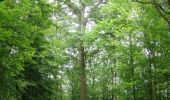

La Perrière : village millénaire

tracegps
User

Length
11.1 km

Max alt
246 m

Uphill gradient
222 m

Km-Effort
14 km

Min alt
127 m

Downhill gradient
222 m
Boucle
Yes
Creation date :
2014-12-10 00:00:00.0
Updated on :
2014-12-10 00:00:00.0
3h00
Difficulty : Medium

FREE GPS app for hiking
About
Trail Walking of 11.1 km to be discovered at Normandy, Orne, Belforêt-en-Perche. This trail is proposed by tracegps.
Description
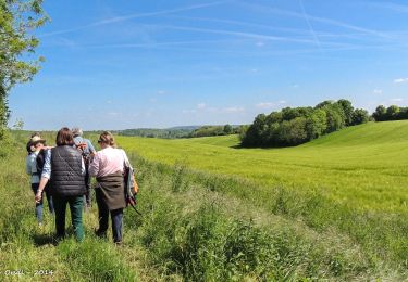
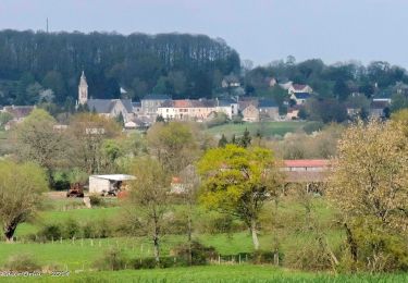
La Perrière : village millénaire. La forêt de Bellême s'étend sur les douces collines du Perche. Couverte de chênes majestueux, c'est un peu de la Gaule antique qui vit encore ici. Retrouvez les Coup de Cœur Randonnée dans l’Orne en Normandie.
Positioning
Country:
France
Region :
Normandy
Department/Province :
Orne
Municipality :
Belforêt-en-Perche
Location:
Unknown
Start:(Dec)
Start:(UTM)
310618 ; 5362872 (31U) N.
Comments
Trails nearby
La Perrière, forêt et village


Walking
Difficult
Belforêt-en-Perche,
Normandy,
Orne,
France

11.1 km | 13.8 km-effort
3h 8min
Yes
le chêne de l'école


Walking
Very easy
Belforêt-en-Perche,
Normandy,
Orne,
France

15.7 km | 19.7 km-effort
6h 47min
Yes
La Perrière - Saint-Germain-de-la-Coudre via Bellême (TCP) 28 km


Walking
Medium
Belforêt-en-Perche,
Normandy,
Orne,
France

28 km | 35 km-effort
7h 16min
No
La Perrière - Saint-Germain-de-la-Coudre via Igé (TCP) 27 km


Walking
Easy
Belforêt-en-Perche,
Normandy,
Orne,
France

27 km | 33 km-effort
7h 2min
No
La Perrière - Mortagne-au-Perche (TCP) 29 km


Walking
Difficult
Belforêt-en-Perche,
Normandy,
Orne,
France

29 km | 34 km-effort
7h 18min
No
la perrière par la forêt


Walking
Medium
Belforêt-en-Perche,
Normandy,
Orne,
France

5.6 km | 7.6 km-effort
1h 45min
Yes
fourneaux gr jusqu'au ruisseau


Walking
Medium
Belforêt-en-Perche,
Normandy,
Orne,
France

5 km | 6.7 km-effort
1h 15min
Yes


2023-12-6 Bellême VduP


Car
Belforêt-en-Perche,
Normandy,
Orne,
France

47 km | 56 km-effort
2h 48min
No


 SityTrail


