


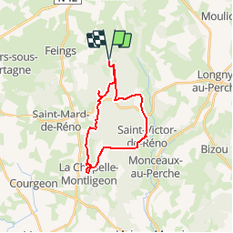

7.6 km | 9.3 km-effort

User


FREE GPS app for hiking
 SityTrail
IGN / Geographical institutes
SityTrail World
The world is yours!
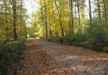
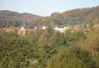
Trail Walking of 20 km to be discovered at Normandy, Orne, Feings. This trail is proposed by tracegps.
Attelage - Forêt et Panoramas (journée) - forêt de Réno-Valdieu Circuit d'attelage, praticable à pied et à VTT. Retrouvez les Coup de Cœur Randonnée dans l’Orne en Normandie.


On foot
Walking
Walking
Equestrian

Walking
Equestrian

Mountain bike
![Trail Walking Saint-Mard-de-Réno - [Itinéraire] La chute de Beillard - Départ de Saint-Mard - Photo](https://media.geolcdn.com/t/375/260/ext.jpg?maxdim=2&url=https%3A%2F%2Fstatic1.geolcdn.com%2Fsiteimages%2Fupload%2Ffiles%2F1553511878bg_sport_marche.png)
Walking
Walking