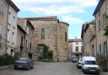
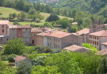
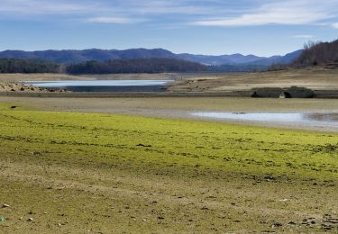
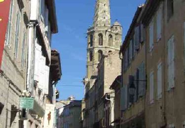
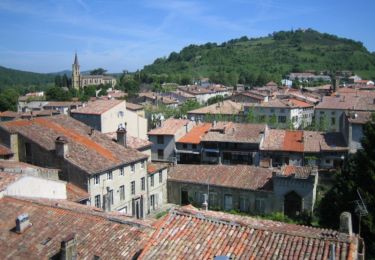
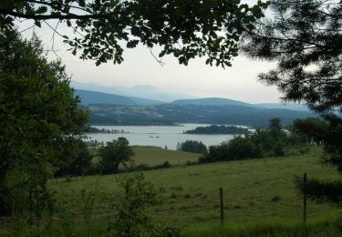
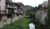
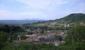
Trail Equestrian Chalabre - La colline du calvaire - Chalabre - Photo

La colline du calvaire - Chalabre

 tracegps
tracegps

User

© OpenStreetMap contributors
Length
Length
4.4 km
Max alt
Max alt
515 m
Uphill gradient
Uphill gradient
149 m
Km-Effort
Km-Effort  
6.4 km
Min alt
Min alt
378 m
Downhill gradient
Downhill gradient
149 m
Boucle
Boucle
Yes
Creation date :
2014-12-10 00:00:00.0
Updated on :
2014-12-10 00:00:00.0

(0 Reviews)

Equestrian
Equestrian
1h00
Difficulty : Easy

Scan this QR Code to open this trail in the SityTrail application

FREE GPS app for hiking

Logo SityTrail SityTrail

IGN / Geographical institutes

Download SityTrail from the App Store Download SityTrail from Google Play

Logo SityTrail SityTrail World

The world is yours!

Download SityTrail from the App Store Download SityTrail from Google Play Download SityTrail on Huawei AppGallery

About

Trail Equestrian of 4.4 km to be discovered at Occitania, Aude, Chalabre. This trail is proposed by tracegps.

Description

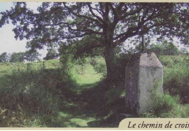
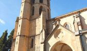
Circuit proposé par la Communauté de Communes du Chalabrais. Départ : Parking à 100 m de l’église St Pierre. Faites à l’aller l’ascension de l’ancien chemin de croix qui mène à la chapelle du calvaire à travers l’histoire de ce lieu et le retour par le chemin du pape. « Picvert » vous accompagne à la découverte de la faune et la flore locales. Une signalétique réalisée en collaboration avec les élèves du collége de Chalabre. Retrouvez le circuit et son descriptif sur le site de la Communauté de Communes du Chalabrais.

Elevation profile

Photos

Positioning

Country:
France
Region :
Occitania
Department/Province :
Aude
Municipality :
Chalabre
Location:
Unknown
Start:(UTM)
419087 ; 4759472 (31T) N.

Trails nearby

Trail Walking Rivel - Au fil de l'eau - Rivel - Photo
Walking
tracegps

Walking

Medium
(1)
Rivel, Occitania, Aude, France
5.2 km | 7 km-effort
1h 45min
Yes
Trail Walking Rivel - Le chemin du château - Rivel - Photo
Walking
tracegps

Walking

Easy
(1)
Rivel, Occitania, Aude, France
2.4 km | 4 km-effort
45min
Yes
Trail Walking Montbel - Lac de Montbel - Photo
Walking
tracegps

Walking

Medium
(2)
Montbel, Occitania, Ariège, France
15.8 km | 18.4 km-effort
3h 19min
Yes
Trail Walking Montbel - 1/2 tour a Montbel  - Photo
Walking
gogo1965

Walking

Easy
Montbel, Occitania, Ariège, France
48 km | 55 km-effort
2h 10min
No
Trail On foot Montbel - Tour du Lac de Montbel - Photo
On foot
GUIDE+

On foot

Easy
Montbel, Occitania, Ariège, France
15.3 km | 17.9 km-effort
4h 4min
Yes
Trail Cycle Chalabre - Chalabre - Limoux - Espéraza - Photo
Cycle
tracegps

Cycle

Difficult
Chalabre, Occitania, Aude, France
72 km | 88 km-effort
4h 30min
Yes
Trail Walking Chalabre - La colline du calvaire - Chalabre - Photo
Walking
tracegps

Walking

Easy
Chalabre, Occitania, Aude, France
4.4 km | 6.4 km-effort
1h 30min
Yes
Trail Walking Chalabre - Circuit de découverte de Chalabre - Photo
Walking
tracegps

Walking

Easy
Chalabre, Occitania, Aude, France
3.5 km | 3.9 km-effort
1h 0min
Yes
Trail Equestrian Chalabre - Histoires d'eau et de train - Chalabre - Photo
Equestrian
tracegps

Equestrian

Difficult
Chalabre, Occitania, Aude, France
23 km | 28 km-effort
4h 0min
Yes


Close
My subscriptions