


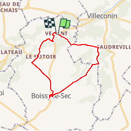

12.3 km | 15 km-effort


User


FREE GPS app for hiking
 SityTrail
IGN / Geographical institutes
SityTrail World
The world is yours!
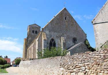
Trail Walking of 11.2 km to be discovered at Ile-de-France, Essonne, Boissy-le-Sec. This trail is proposed by CRUZILLACP.
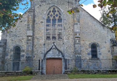
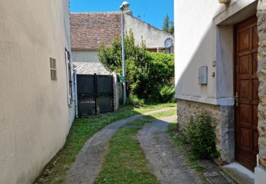
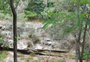
Venant, Fourchainville, Boissy-le-Sec, Le Rotoir
Promenade dans Boissy-le-Sec
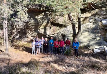
Départ à Venant rue de Villeneuve au 1er stop à gauche

Walking
Walking

Walking
Walking
Walking
Walking
On foot
Nordic walking
Walking