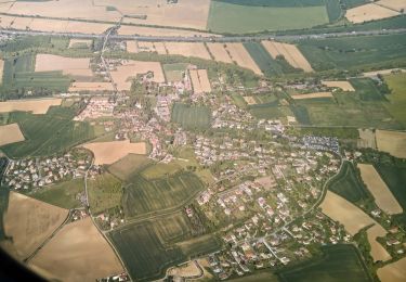
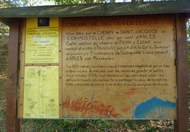
Trail Walking Castanet-Tolosan - Boucle de Savignol  -  Castanet-Tolosan - Photo

Boucle de Savignol - Castanet-Tolosan

 tracegps
tracegps

User

© OpenStreetMap contributors
Length
Length
10 km
Max alt
Max alt
255 m
Uphill gradient
Uphill gradient
163 m
Km-Effort
Km-Effort  
12.2 km
Min alt
Min alt
149 m
Downhill gradient
Downhill gradient
163 m
Boucle
Boucle
Yes
Creation date :
2014-12-10 00:00:00.0
Updated on :
2014-12-10 00:00:00.0

(0 Reviews)

Walking
Walking
2h30
Difficulty : Medium

Scan this QR Code to open this trail in the SityTrail application

FREE GPS app for hiking

Logo SityTrail SityTrail

IGN / Geographical institutes

Download SityTrail from the App Store Download SityTrail from Google Play

Logo SityTrail SityTrail World

The world is yours!

Download SityTrail from the App Store Download SityTrail from Google Play Download SityTrail on Huawei AppGallery

About

Trail Walking of 10 km to be discovered at Occitania, Haute-Garonne, Castanet-Tolosan. This trail is proposed by tracegps.

Description

Circuit proposé par la SICOVAL (Communauté d’Agglomération Sud-Est Toulousain) Départ de la mairie de Castanet-Tolosan. Reliant Castanet à Pechabou, cette randonnée offre le calme aux portes de la ville. Entre panoramas et rives ombragées du canal, le promeneur découvrira Pechabou par des passages insolites. Retrouvez le plan du circuit sur le site de la SICOVAL. Ce circuit a été numérisé par les randonneurs du CODEPEM. Merci à Jean-Marie.

Elevation profile

Photos

Positioning

Country:
France
Region :
Occitania
Department/Province :
Haute-Garonne
Municipality :
Castanet-Tolosan
Location:
Unknown
Start:(UTM)
378614 ; 4819309 (31T) N.

Trails nearby

Trail Mountain bike Aureville - Aureville à Goyrans - Photo
Mountain bike
tracegps

Mountain bike

Medium
(1)
Aureville, Occitania, Haute-Garonne, France
14.9 km | 19.4 km-effort
1h 0min
Yes
Trail Walking Aureville - Aureville à Goyrans - Photo
Walking
tracegps

Walking

Medium
(1)
Aureville, Occitania, Haute-Garonne, France
14.9 km | 19.4 km-effort
3h 0min
Yes
Trail Roller skating Deyme - Pont canal Pompertuzat -> Super U Belberaud -> Église Escalquens -> Montlaur-> pont canal Montlaur - Photo
Roller skating
LoulouteRollers

Roller skating

Difficult
(1)
Deyme, Occitania, Haute-Garonne, France
20 km | 23 km-effort
2h 0min
Yes
Trail On foot Donneville - Boucle de Saint-Ignace - Photo
On foot
GUIDE+

On foot

Easy
Donneville, Occitania, Haute-Garonne, France
4.1 km | 5.7 km-effort
1h 17min
Yes
Trail Other activity Corronsac - Véro - Photo
Other activity
Frings

Other activity

Very easy
(1)
Corronsac, Occitania, Haute-Garonne, France
22 km | 29 km-effort
1h 33min
Yes
Trail Walking Castanet-Tolosan - casranzt fait - Photo
Walking
pidjam

Walking

Very easy
(1)
Castanet-Tolosan, Occitania, Haute-Garonne, France
10.5 km | 12.6 km-effort
2h 26min
Yes
Trail Walking Pechbusque - De Pechbusque à Auzeville Tolosane - Photo
Walking
tracegps

Walking

Medium
Pechbusque, Occitania, Haute-Garonne, France
11.2 km | 14.2 km-effort
3h 30min
Yes
Trail Walking Rebigue - Randonnée autour de Rebigue - Photo
Walking
tracegps

Walking

Medium
Rebigue, Occitania, Haute-Garonne, France
12.1 km | 15.8 km-effort
3h 15min
Yes
Trail Walking Toulouse - povourville JP - Photo
Walking
ClubAgeHeureux

Walking

Difficult
Toulouse, Occitania, Haute-Garonne, France
9.5 km | 12.2 km-effort
2h 42min
Yes


Close
My subscriptions