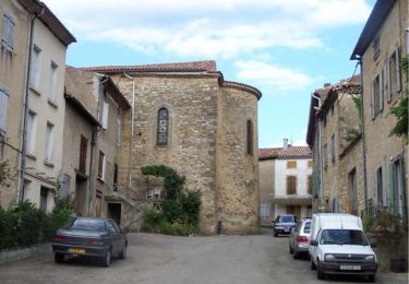
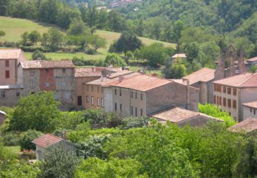
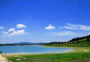
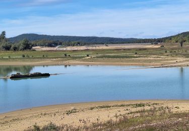
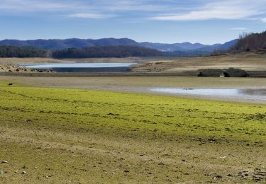
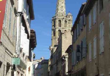
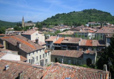
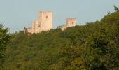
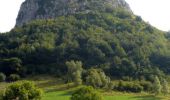
Trail Cycle Chalabre - CCS FFC Aude en Pyrénées - Circuit n°05 - Chalabre - Photo

CCS FFC Aude en Pyrénées - Circuit n°05 - Chalabre

 tracegps
tracegps

User

© OpenStreetMap contributors
Length
Length
99 km
Max alt
Max alt
1061 m
Uphill gradient
Uphill gradient
1755 m
Km-Effort
Km-Effort  
122 km
Min alt
Min alt
364 m
Downhill gradient
Downhill gradient
1755 m
Boucle
Boucle
Yes
Creation date :
2014-12-10 00:00:00.0
Updated on :
2014-12-10 00:00:00.0

(0 Reviews)

Cycle
Cycle
5h00
Difficulty : Difficult

Scan this QR Code to open this trail in the SityTrail application

FREE GPS app for hiking

Logo SityTrail SityTrail

IGN / Geographical institutes

Download SityTrail from the App Store Download SityTrail from Google Play

Logo SityTrail SityTrail World

The world is yours!

Download SityTrail from the App Store Download SityTrail from Google Play Download SityTrail on Huawei AppGallery

About

Trail Cycle of 99 km to be discovered at Occitania, Aude, Chalabre. This trail is proposed by tracegps.

Description

Ce parcours exigeant s’adresse aux plus « affûtés » car il enchaîne 2 montées redoutables. D’abord par le hameau de Lescale, bastion de la Résistance, puis après une escapade sur le magnifique Plateau de Sault, l’ascension vers le château de Montségur, haut lieu du Catharisme, vous laissera un souvenir mémorable. Retour par le pays d’Olmes et ses collines sauvages. Textes de Patrick Rault et Louis Mounié.

Elevation profile

Photos

Positioning

Country:
France
Region :
Occitania
Department/Province :
Aude
Municipality :
Chalabre
Location:
Unknown
Start:(UTM)
419060 ; 4759498 (31T) N.

Trails nearby

Trail Walking Rivel - Au fil de l'eau - Rivel - Photo
Walking
tracegps

Walking

Medium
(1)
Rivel, Occitania, Aude, France
5.2 km | 7 km-effort
1h 45min
Yes
Trail Walking Rivel - Le chemin du château - Rivel - Photo
Walking
tracegps

Walking

Easy
(1)
Rivel, Occitania, Aude, France
2.4 km | 4 km-effort
45min
Yes
Trail Walking Montbel - Lac de Montbel - Photo
Walking
tracegps

Walking

Medium
(2)
Montbel, Occitania, Ariège, France
15.8 km | 18.4 km-effort
3h 19min
Yes
Trail Walking Montbel - 1/2 tour a Montbel  - Photo
Walking
gogo1965

Walking

Easy
Montbel, Occitania, Ariège, France
48 km | 55 km-effort
2h 10min
No
Trail On foot Montbel - Tour du Lac de Montbel - Photo
On foot
GUIDE+

On foot

Easy
Montbel, Occitania, Ariège, France
15.3 km | 17.9 km-effort
4h 4min
Yes
Trail Cycle Chalabre - Chalabre - Limoux - Espéraza - Photo
Cycle
tracegps

Cycle

Difficult
Chalabre, Occitania, Aude, France
72 km | 88 km-effort
4h 30min
Yes
Trail Equestrian Chalabre - La colline du calvaire - Chalabre - Photo
Equestrian
tracegps

Equestrian

Easy
Chalabre, Occitania, Aude, France
4.4 km | 6.4 km-effort
1h 0min
Yes
Trail Walking Chalabre - La colline du calvaire - Chalabre - Photo
Walking
tracegps

Walking

Easy
Chalabre, Occitania, Aude, France
4.4 km | 6.4 km-effort
1h 30min
Yes
Trail Walking Chalabre - Circuit de découverte de Chalabre - Photo
Walking
tracegps

Walking

Easy
Chalabre, Occitania, Aude, France
3.5 km | 3.9 km-effort
1h 0min
Yes


Close
My subscriptions