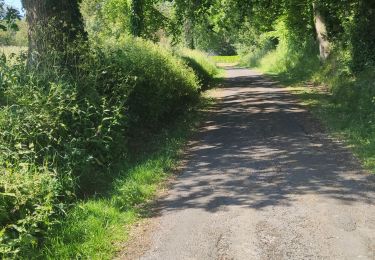
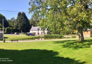
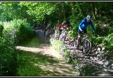
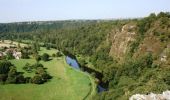
Trail Equestrian Bourgvallées - La vallée de la Vire : 3 boucles pour cavaliers - Photo

La vallée de la Vire : 3 boucles pour cavaliers

 tracegps
tracegps

User

© OpenStreetMap contributors
Length
Length
44 km
Max alt
Max alt
138 m
Uphill gradient
Uphill gradient
673 m
Km-Effort
Km-Effort  
53 km
Min alt
Min alt
17 m
Downhill gradient
Downhill gradient
668 m
Boucle
Boucle
Yes
Creation date :
2014-12-10 00:00:00.0
Updated on :
2014-12-10 00:00:00.0

(1 Reviews)

Equestrian
Equestrian
9h00
Difficulty : Difficult

Scan this QR Code to open this trail in the SityTrail application

FREE GPS app for hiking

Logo SityTrail SityTrail

IGN / Geographical institutes

Download SityTrail from the App Store Download SityTrail from Google Play

Logo SityTrail SityTrail World

The world is yours!

Download SityTrail from the App Store Download SityTrail from Google Play Download SityTrail on Huawei AppGallery

About

Trail Equestrian of 44 km to be discovered at Normandy, Manche, Bourgvallées. This trail is proposed by tracegps.

Description

Un beau circuit « à la carte », avec 3 boucles qui peuvent être faites indépendamment les unes des autres. Parcourir les 3 la même journée est possible. Très beau circuit varié, qui suit le cours de la Vire, fleuve côtier qui arrive des confins de la Manche, du Calvados et de l'Orne. Après être passé à Saint-Lô, il passe par ici avant de se jeter dans la Manche, dans la baie des Veys. La navigation importante qui eut cours durant tout le XIXe siècle a laissé de beaux aménagements qui ponctuent ce circuit aménagé pour les randonneurs. Plus de détails sur le circuit (balisage, difficulté…), les points remarquables à proximité et téléchargements sur Manche Tourisme – Loisirs Randonnée GPS.

Elevation profile

Photos

Points of interest

Point of interest Bourgvallées - 01_DEPART_MANCELLIERE - Photo
tracegps
BOURGVALLÉES 
Point of interest Bourgvallées - 02_SUZANNE - Photo
tracegps
BOURGVALLÉES 
Point of interest Bourgvallées - 03_DEPART_CONDE - Photo
tracegps
BOURGVALLÉES 
Point of interest Condé-sur-Vire - 04_DEPART_MESNIL - Photo
tracegps
CONDÉ-SUR-VIRE 
Point of interest Condé-sur-Vire - 05_INTERSECTION - Photo
tracegps
CONDÉ-SUR-VIRE 
Point of interest Condé-sur-Vire - 06_CHAPELLE - Photo
tracegps
CONDÉ-SUR-VIRE 
Point of interest Condé-sur-Vire - 07_INTERSECTION - Photo
tracegps
CONDÉ-SUR-VIRE 
Point of interest Condé-sur-Vire - 08_ESCALADE - Photo
tracegps
CONDÉ-SUR-VIRE 
Point of interest Condé-sur-Vire - 09_ROCHES_HAM_ - Photo
tracegps
CONDÉ-SUR-VIRE 
Point of interest Domjean - 10_INTERSECTION - Photo
tracegps
Point of interest Domjean - 11_DEPART_DOMJEAN_ - Photo
tracegps
Point of interest Domjean - 12_INTERSECTION - Photo
tracegps

Positioning

Country:
France
Region :
Normandy
Department/Province :
Manche
Municipality :
Bourgvallées
Location:
La Mancellière-sur-Vire
Start:(Dec)
Start:(UTM)
640862 ; 5436951 (30U) N.

Comments

Please log in to post a review or rate the element


Trails nearby

Trail Mountain bike Agneaux - L'Agnelaise 2014 - Agneaux - Photo
Mountain bike
tracegps

Mountain bike

Difficult
Agneaux, Normandy, Manche, France
44 km | 52 km-effort
3h 0min
Yes
Trail Walking Torigny-les-Villes - Les Roches de Ham - Photo
Walking
PatRando

Walking

Medium
Torigny-les-Villes, Normandy, Manche, France
5 km | 6.3 km-effort
1h 4min
Yes
Trail Walking Saint-Lô - BALLADE 2 JUIN - Photo
Walking
PatRando

Walking

Very easy
Saint-Lô, Normandy, Manche, France
3.1 km | 3.7 km-effort
51min
Yes
Trail Walking Saint-Lô - Ballade 2 juin 2020 - Photo
Walking
PatRando

Walking

Very easy
Saint-Lô, Normandy, Manche, France
3.6 km | 4.2 km-effort
1h 2min
Yes
Trail Walking Saint-Lô - Ballade - Photo
Walking
PatRando

Walking

Very easy
Saint-Lô, Normandy, Manche, France
814 m | 940 m-effort
22min
Yes
Trail Walking Saint-Lô - Le Hutrel 27 ai 2020 - Photo
Walking
PatRando

Walking

Very easy
Saint-Lô, Normandy, Manche, France
2.3 km | 2.9 km-effort
48min
Yes
Trail Mountain bike Bourgvallées - La Samsonnaise 2014 - Photo
Mountain bike
tracegps

Mountain bike

Difficult
Bourgvallées, Normandy, Manche, France
47 km | 57 km-effort
3h 25min
Yes
Trail Mountain bike Condé-sur-Vire - Boucle de Mesnil - Raoult    - Photo
Mountain bike
tracegps

Mountain bike

Medium
Condé-sur-Vire, Normandy, Manche, France
9.1 km | 11.1 km-effort
1h 0min
Yes
Trail Walking Condé-sur-Vire - Boucle de Mesnil - Raoult    - Photo
Walking
tracegps

Walking

Medium
Condé-sur-Vire, Normandy, Manche, France
9.1 km | 11.1 km-effort
2h 15min
Yes


Close
My subscriptions