

Circuit de Tessy sur Vire

tracegps
User

Length
26 km

Max alt
269 m

Uphill gradient
553 m

Km-Effort
33 km

Min alt
38 m

Downhill gradient
552 m
Boucle
Yes
Creation date :
2014-12-10 00:00:00.0
Updated on :
2014-12-10 00:00:00.0
2h00
Difficulty : Difficult

FREE GPS app for hiking
About
Trail Mountain bike of 26 km to be discovered at Normandy, Manche, Tessy-Bocage. This trail is proposed by tracegps.
Description
Circuit proposé par la Communauté de Communes de Tessy sur Vire. Départ du Pont de Tessy-sur-Vire sur la D13. Retrouvez le descriptif et les commentaires du circuit sur le site de la Communauté de Communes de Tessy sur Vire.
Positioning
Country:
France
Region :
Normandy
Department/Province :
Manche
Municipality :
Tessy-Bocage
Location:
Unknown
Start:(Dec)
Start:(UTM)
642292 ; 5426490 (30U) N.
Comments
Trails nearby
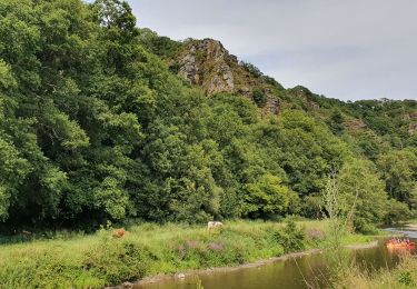
Le rocher de Ham


Walking
Easy
(1)
Condé-sur-Vire,
Normandy,
Manche,
France

10.9 km | 13.4 km-effort
2h 24min
Yes
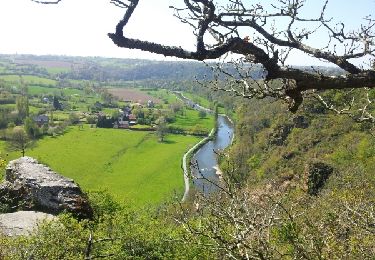
Roches de ham


Walking
Easy
(1)
Condé-sur-Vire,
Normandy,
Manche,
France

11.1 km | 13.5 km-effort
2h 58min
Yes
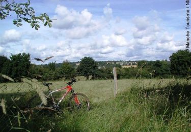
Au coeur de la vallée de la Vire


Mountain bike
Difficult
(2)
Domjean,
Normandy,
Manche,
France

32 km | 39 km-effort
4h 0min
Yes
rando haras pont farcy


Nordic walking
Very easy
(1)
Tessy-Bocage,
Normandy,
Manche,
France

9.9 km | 11.9 km-effort
2h 1min
No

rando eleanore


Nordic walking
Difficult
(1)
Gouvets,
Normandy,
Manche,
France

11.1 km | 13.7 km-effort
2h 14min
Yes
Rando gorge de la Vire


Walking
Easy
Domjean,
Normandy,
Manche,
France

35 km | 42 km-effort
10h 25min
Yes

Tessy-sur-Vire - C 13-V


Walking
Easy
Tessy-Bocage,
Normandy,
Manche,
France

3.4 km | 4.1 km-effort
1h 0min
Yes

Tessy-sur-Vire - C 13-II


Mountain bike
Easy
Tessy-Bocage,
Normandy,
Manche,
France

8.8 km | 10.5 km-effort
1h 0min
Yes

Tessy-sur-Vire - C 13-II


Walking
Medium
Tessy-Bocage,
Normandy,
Manche,
France

8.8 km | 10.5 km-effort
2h 15min
Yes


 SityTrail


