


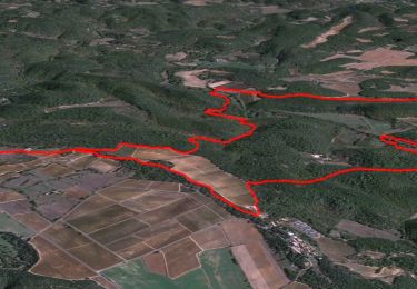
11.1 km | 17.3 km-effort

User


FREE GPS app for hiking
 SityTrail
IGN / Geographical institutes
SityTrail World
The world is yours!
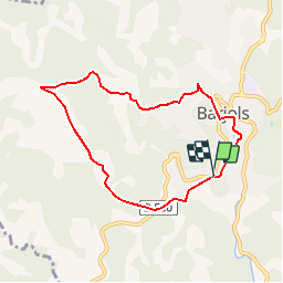
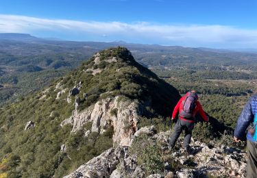
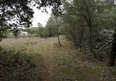
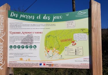
Trail Walking of 7.4 km to be discovered at Provence-Alpes-Côte d'Azur, Var, Barjols. This trail is proposed by tracegps.
Une boucle familiale, sur de petites routes goudronnées à travers différents quartiers de Barjols, célèbre pour ses fontaines. Retrouvez d’autres information sur cette randonnée sur le site du Pays de la Provence Verte.


Walking
Walking
Walking
Walking
On foot
Walking
Walking
Walking
Walking