


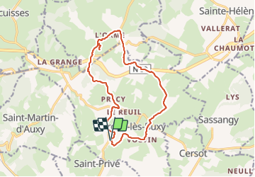

13.8 km | 18.5 km-effort


User


FREE GPS app for hiking
 SityTrail
IGN / Geographical institutes
SityTrail World
The world is yours!
Trail Walking of 14.8 km to be discovered at Bourgogne-Franche-Comté, Saône-et-Loire, Marcilly-lès-Buxy. This trail is proposed by pensionisten71.
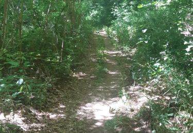
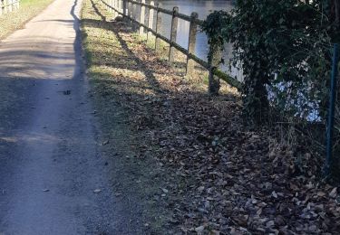
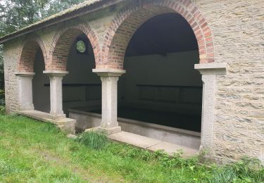
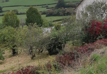
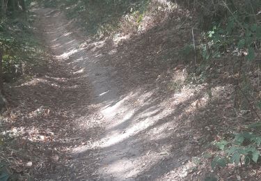
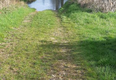
montée agréable dans les bois entre Précy et la route.A la Chapelle de Villard (visite possible de la Chapelle),le tracé mène aux 2 rangées de Séquoias.Attention l'allée est interdite (arrêté municipal)donc retour vers la chapelle et suivre le tracé

Walking
Walking
Walking
Walking
Walking
Walking
Walking
Walking
Walking