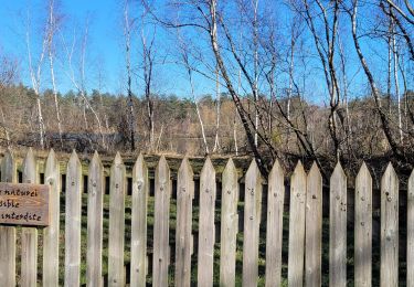
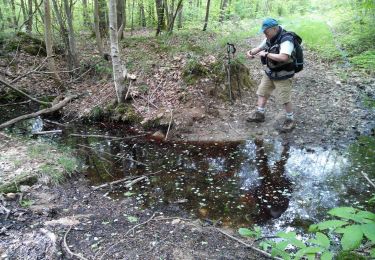
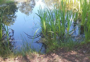
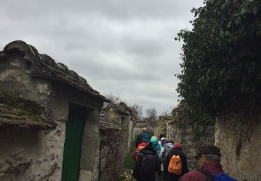
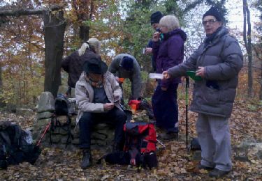
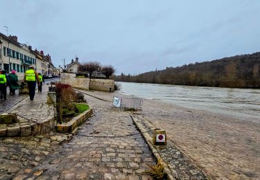
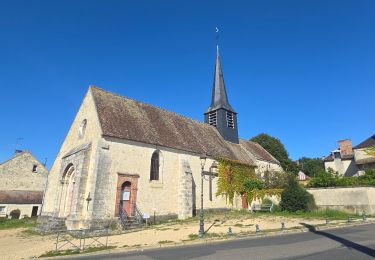
Trail Walking Vulaines-sur-Seine - Taverne d'Augas - Photo
 jpcccb
jpcccb

User

© OpenStreetMap contributors
Length
Length
14.3 km
Max alt
Max alt
155 m
Uphill gradient
Uphill gradient
240 m
Km-Effort
Km-Effort  
17.4 km
Min alt
Min alt
42 m
Downhill gradient
Downhill gradient
214 m
Boucle
Boucle
No
Creation date :
2019-05-06 12:01:15.876
Updated on :
2023-05-12 14:16:55.851

(0 Reviews)

Walking
Walking
3h57
Difficulty : Difficult

Scan this QR Code to open this trail in the SityTrail application

FREE GPS app for hiking

Logo SityTrail SityTrail

IGN / Geographical institutes

Download SityTrail from the App Store Download SityTrail from Google Play

Logo SityTrail SityTrail World

The world is yours!

Download SityTrail from the App Store Download SityTrail from Google Play Download SityTrail on Huawei AppGallery

About

Trail Walking of 14.3 km to be discovered at Ile-de-France, Seine-et-Marne, Vulaines-sur-Seine. This trail is proposed by jpcccb.

Elevation profile

Positioning

Country:
France
Region :
Ile-de-France
Department/Province :
Seine-et-Marne
Municipality :
Vulaines-sur-Seine
Location:
Unknown
Start:(UTM)
481754 ; 5364148 (31U) N.

Trails nearby

Trail Walking Fontainebleau - La Mare aux Fées 18km - Forêt de Fontainebleau - Photo
Walking
onftest

Walking

Medium
(5)
Fontainebleau, Ile-de-France, Seine-et-Marne, France
18 km | 22 km-effort
4h 41min
Yes
Trail On foot Fontainebleau - Boucle 28 km en forêt de Fontainebleau  - Photo
On foot
GUIDE
chessyca

On foot

Medium
(1)
Fontainebleau, Ile-de-France, Seine-et-Marne, France
28 km | 34 km-effort
7h 43min
Yes
Trail Walking Champagne-sur-Seine - GLM-150507 - Champagne - Photo
Walking
randodan

Walking

Easy
(1)
Champagne-sur-Seine, Ile-de-France, Seine-et-Marne, France
17.3 km | 20 km-effort
4h 20min
Yes
Trail Walking Fontainebleau - Boucle 30 km Veni Venelles Vici - Photo
Walking
GUIDE
chessyca

Walking

Very difficult
(1)
Fontainebleau, Ile-de-France, Seine-et-Marne, France
30 km | 35 km-effort
6h 0min
No
Trail Walking Fontainebleau - Rando mares aux fees Gilles18 km - Photo
Walking
GUIDE
jeanmarcMasson

Walking

Very difficult
(1)
Fontainebleau, Ile-de-France, Seine-et-Marne, France
17.8 km | 22 km-effort
4h 58min
Yes
Trail Other activity Thomery - forêt de fontainebleau  - Photo
Other activity
bellicaud

Other activity

Medium
(1)
Thomery, Ile-de-France, Seine-et-Marne, France
20 km | 23 km-effort
5h 40min
Yes
Trail Walking Fontainebleau - 131204-GLM - CxToulouse-StLouis - Photo
Walking
randodan

Walking

Easy
(3)
Fontainebleau, Ile-de-France, Seine-et-Marne, France
9 km | 10.7 km-effort
3h 0min
Yes
Trail Walking Champagne-sur-Seine - Boucle Champagne/ Seine - Moret - St Mammes - Thomery - Photo
Walking
GUIDE
chessyca

Walking

Easy
Champagne-sur-Seine, Ile-de-France, Seine-et-Marne, France
24 km | 27 km-effort
5h 15min
Yes
Trail On foot Fontainebleau - Rando des trois châteaux parcours 42 km Fontainebleau Vaux le vicomte Blandy les tours - Photo
On foot
GUIDE
chessyca

On foot

Very difficult
Fontainebleau, Ile-de-France, Seine-et-Marne, France
43 km | 50 km-effort
11h 23min
No


Close
My subscriptions