


6.3 km | 6.9 km-effort

User


FREE GPS app for hiking
 SityTrail
IGN / Geographical institutes
SityTrail World
The world is yours!
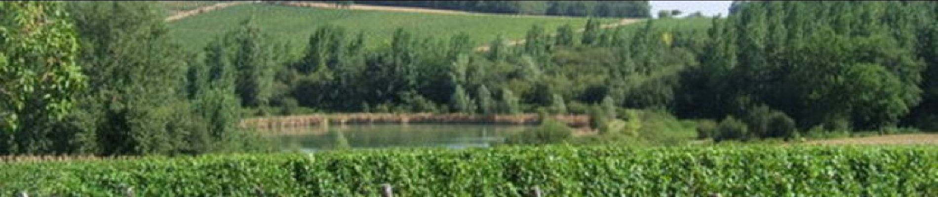
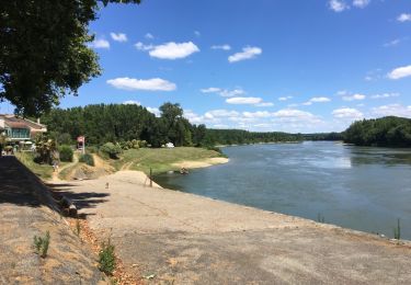
Trail Mountain bike of 4.9 km to be discovered at New Aquitaine, Lot-et-Garonne, Marcellus. This trail is proposed by tracegps.
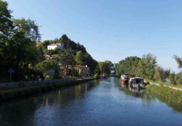
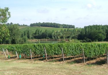
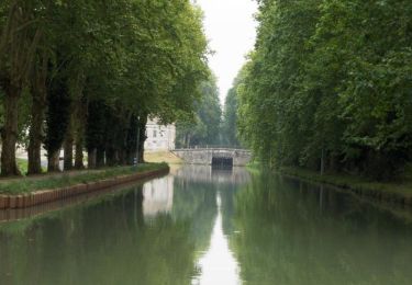
Marcellus Communauté de Communes Val de Garonne. Canal et Voie Verte sont interdits aux engins motorisés et aux cavaliers. Le château du 16ème siècle, niché dans un grand parc, abrita le Comte de Marcellus. Sous la Restauration, ce diplomate fut à l’origine de l’achat et de la venue en France de la célèbre statue de la Vénus de Milo. Téléchargez la fiche de cette randonnée sur le site du Tourisme du Lot et Garonne.

Walking

Walking
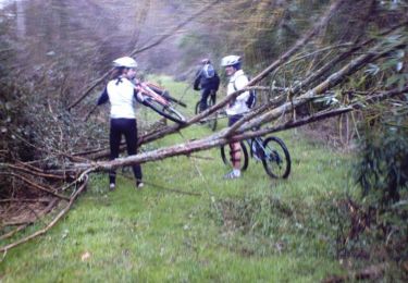
Mountain bike
Walking
Mountain bike

Walking
Walking

Mountain bike
Walking