


6.3 km | 6.9 km-effort

User


FREE GPS app for hiking
 SityTrail
IGN / Geographical institutes
SityTrail World
The world is yours!
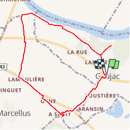
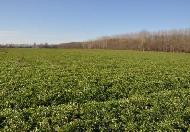
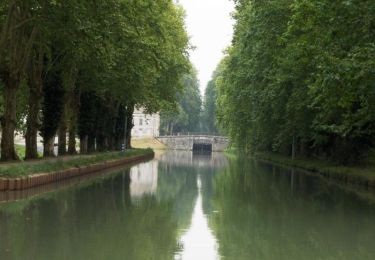
Trail Walking of 9.2 km to be discovered at New Aquitaine, Lot-et-Garonne, Gaujac. This trail is proposed by tracegps.
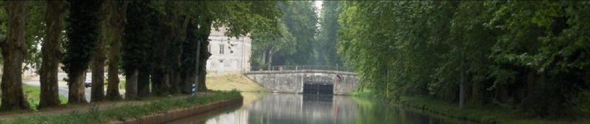
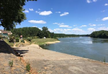
Gaujac / canal de Garonne Cté de Communes Val de Garonne. Cette randonnée court dans la plaine entre le village de Gaujac, le chemin de halage du canal et sa Voie Verte et les digues de protection des crues du fleuve. Détour indispensable vers le moulin de Cantecort. Téléchargez la fiche de cette randonnée sur le site du Tourisme du Lot et Garonne.

Walking

Walking
Mountain bike
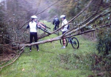
Mountain bike
Mountain bike
Walking

Mountain bike
Walking
Mountain bike