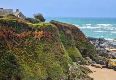
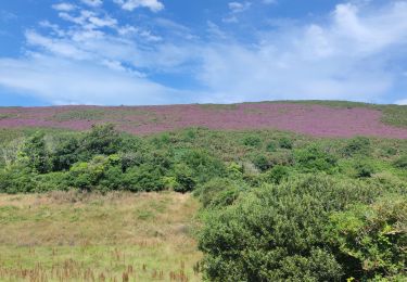
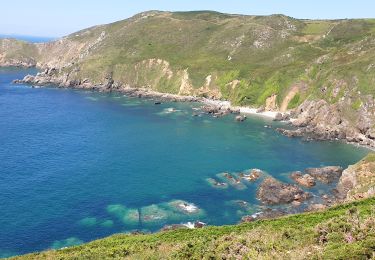
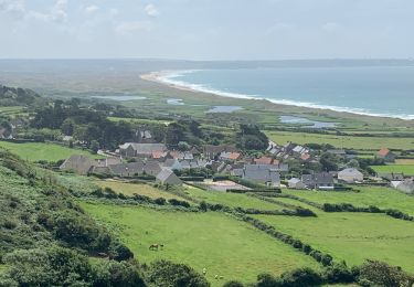
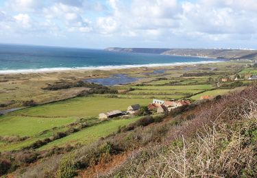
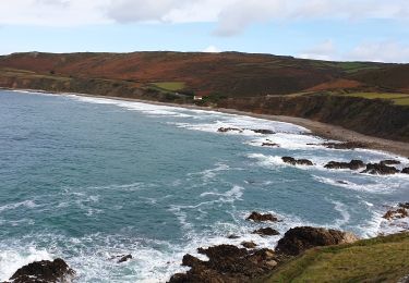
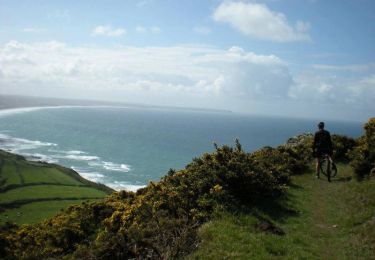
Trail Mountain bike La Hague - De La Crecque - Vauville au Camp Maneyrol - Circuit n° 10 - Photo

De La Crecque - Vauville au Camp Maneyrol - Circuit n° 10

 tracegps
tracegps

User

© OpenStreetMap contributors
Length
Length
17.4 km
Max alt
Max alt
176 m
Uphill gradient
Uphill gradient
452 m
Km-Effort
Km-Effort  
23 km
Min alt
Min alt
7 m
Downhill gradient
Downhill gradient
451 m
Boucle
Boucle
Yes
Creation date :
2014-12-10 00:00:00.0
Updated on :
2014-12-10 00:00:00.0

(0 Reviews)

Mountain bike
Mountain bike
1h19
Difficulty : Very difficult

Scan this QR Code to open this trail in the SityTrail application

FREE GPS app for hiking

Logo SityTrail SityTrail

IGN / Geographical institutes

Download SityTrail from the App Store Download SityTrail from Google Play

Logo SityTrail SityTrail World

The world is yours!

Download SityTrail from the App Store Download SityTrail from Google Play Download SityTrail on Huawei AppGallery

About

Trail Mountain bike of 17.4 km to be discovered at Normandy, Manche, La Hague. This trail is proposed by tracegps.

Description

Départ : La Crecque. Ce nom Normand est issu du mot « crèche » (mangeoire pour bétail). Camp Maneyrol. Première station de vol, crée en 1923, elle porte le nom d’Alexis Maneyrol (1891-1923) en mémoire du pilote qui battit le record mondial de durée de cette époque. (Paris-Rome sans escale en 5h39) Alexis Maneyrol s’est tué en 1923 lors d’un concours en Angleterre. Il voulu dépasser les 4000 mètres d’altitude. L’avion s’écrase au sol. L’aiguille du barographe bloquée à 4200m. Pierre Pouquelées. Allée couverte, sépulture collective type armoricain érigée pendant la période néolithique (env. 4000 avant J-C) qui culmine à 134 mètres d’altitude. Ce monument est classé monument historique en 1854.

Elevation profile

Photos

Positioning

Country:
France
Region :
Normandy
Department/Province :
Manche
Municipality :
La Hague
Location:
Vauville
Start:(UTM)
583019 ; 5498674 (30U) N.

Trails nearby

Trail Cycle La Hague - La Haguarde Bitumeuse 2011 - Gréville Hague - Photo
Cycle
tracegps

Cycle

Medium
(1)
La Hague, Normandy, Manche, France
61 km | 72 km-effort
2h 0min
Yes
Trail Walking La Hague - Séjour Cotentin Etape 4 Biville - Les Pieux - Photo
Walking
GUIDE
chessyca

Walking

Difficult
La Hague, Normandy, Manche, France
29 km | 35 km-effort
6h 55min
No
Trail Walking La Hague - ioupi biville 01 - Photo
Walking
black2boy

Walking

Easy
(1)
La Hague, Normandy, Manche, France
9.5 km | 11.3 km-effort
2h 11min
Yes
Trail Walking La Hague - Vauville - Photo
Walking
PatRando

Walking

Easy
La Hague, Normandy, Manche, France
7 km | 8 km-effort
1h 48min
Yes
Trail Walking La Hague - Vauville - Côte Soufflée A/R  - Photo
Walking
PascalN

Walking

Very difficult
La Hague, Normandy, Manche, France
22 km | 33 km-effort
4h 32min
Yes
Trail Walking La Hague - Gag - Photo
Walking
adamfv

Walking

Medium
La Hague, Normandy, Manche, France
5.4 km | 8.4 km-effort
1h 46min
No
Trail Walking La Hague - Vauville,  dunes de Biville Héauville - Photo
Walking
PascalN

Walking

Easy
La Hague, Normandy, Manche, France
21 km | 25 km-effort
4h 13min
Yes
Trail Walking La Hague - Herquemoulin-Cap de la Hague  - Photo
Walking
PascalN

Walking

Difficult
La Hague, Normandy, Manche, France
16.9 km | 26 km-effort
4h 9min
Yes
Trail Mountain bike La Hague - La Banane à Vauville - Photo
Mountain bike
tracegps

Mountain bike

Difficult
La Hague, Normandy, Manche, France
42 km | 56 km-effort
3h 30min
Yes


Close
My subscriptions