

Tour du lac de la Gimone

tracegps
User

Length
18.2 km

Max alt
294 m

Uphill gradient
195 m

Km-Effort
21 km

Min alt
267 m

Downhill gradient
195 m
Boucle
Yes
Creation date :
2014-12-10 00:00:00.0
Updated on :
2014-12-10 00:00:00.0
6h00
Difficulty : Difficult

FREE GPS app for hiking
About
Trail Walking of 18.2 km to be discovered at Occitania, Haute-Garonne, Boulogne-sur-Gesse. This trail is proposed by tracegps.
Description
Longue balade autour du Lac de la Gimone à cheval entre la Haute Garonne et le Gers. Un barrage-poids a été construit sur la Gimone entre Lalanne-Arqué et Lunax, créant un lac de retenue d'une longueur d'environ six kilomètres. (source Wikipédia)
Positioning
Country:
France
Region :
Occitania
Department/Province :
Haute-Garonne
Municipality :
Boulogne-sur-Gesse
Location:
Unknown
Start:(Dec)
Start:(UTM)
308289 ; 4796934 (31T) N.
Comments
Trails nearby
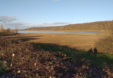
puydarrieux G4 reconnu


Walking
Very easy
(1)
Puydarrieux,
Occitania,
Hautespyrenees,
France

9.5 km | 11.3 km-effort
2h 25min
Yes
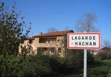
Le sentier du Bois du Cerf - Lagarde-Hachan


Walking
Medium
(1)
Lagarde-Hachan,
Occitania,
Gers,
France

12.7 km | 15 km-effort
3h 10min
Yes
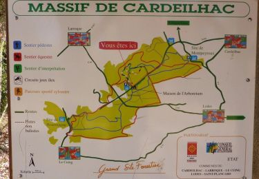
Boucle à Cardeilhac


Walking
Medium
(1)
Cardeilhac,
Occitania,
Haute-Garonne,
France

17.5 km | 21 km-effort
4h 30min
Yes

31_Aurignac


Walking
Difficult
(1)
Aurignac,
Occitania,
Haute-Garonne,
France

15.5 km | 21 km-effort
3h 16min
Yes

De l'Isle en Dodon à Puymaurin


Walking
Medium
(1)
L'Isle-en-Dodon,
Occitania,
Haute-Garonne,
France

15.7 km | 20 km-effort
4h 0min
Yes
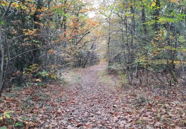
arboretum de cardeilhac


Walking
Very easy
Cardeilhac,
Occitania,
Haute-Garonne,
France

6.6 km | 7.6 km-effort
1h 46min
Yes
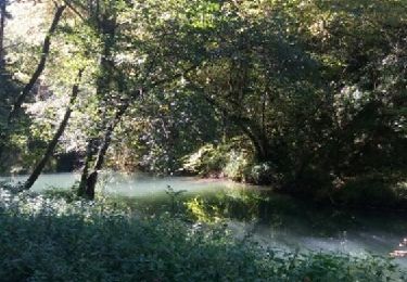
Charlas: gorges de la Save


Walking
Easy
(1)
Charlas,
Occitania,
Haute-Garonne,
France

16.7 km | 21 km-effort
4h 33min
Yes
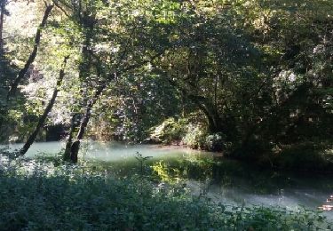
Charlas: gorges de la Save


Walking
Easy
Charlas,
Occitania,
Haute-Garonne,
France

16.7 km | 21 km-effort
4h 33min
Yes
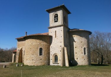
Chapelle St-Bernard - Aurignac


Walking
Medium
Aurignac,
Occitania,
Haute-Garonne,
France

10.5 km | 15 km-effort
3h 0min
Yes


 SityTrail


génial et facile à utiliser merci je recommande