6.3 km | 18.9 km-effort
Le refuge de l'Etang du Pinet
tracegps
User
Length
4.5 km
Max alt
2232 m
Uphill gradient
1042 m
Km-Effort
14.9 km
Min alt
1182 m
Downhill gradient
0 m
Boucle
No
Creation date :
2014-12-10 00:00:00.0
Updated on :
2014-12-10 00:00:00.0
4h00
Difficulty : Medium
FREE GPS app for hiking
About
Trail Walking of 4.5 km to be discovered at Occitania, Ariège, Auzat. This trail is proposed by tracegps.
Description
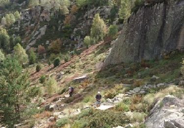
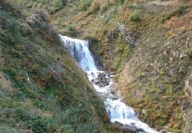
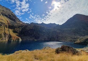
La montée au refuge de l'Etang du Pinet depuis L'Artigue en passant par le Bois de Fontanal, l'Orris de Nouzère et le ruisseau de l'Etang.
Positioning
Country:
France
Region :
Occitania
Department/Province :
Ariège
Municipality :
Auzat
Location:
Unknown
Start:(Dec)
Start:(UTM)
371024 ; 4729851 (31T) N.
Comments
Trails nearby
Pica d'Estats et Montcalm
Walking
Very difficult
Auzat,
Occitania,
Ariège,
France
18.8 km | 46 km-effort
10h 23min
Yes
171006.2 EnCours
Walking
Very easy
Auzat,
Occitania,
Ariège,
France
8.7 km | 13.5 km-effort
3h 45min
Yes
171004 EnCours
Walking
Very easy
Auzat,
Occitania,
Ariège,
France
12.3 km | 24 km-effort
7h 30min
Yes
L'étang de Montestaure par la vallée de l'Artigue
Walking
Very difficult
Auzat,
Occitania,
Ariège,
France
12.4 km | 28 km-effort
6h 30min
Yes