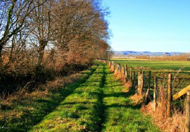
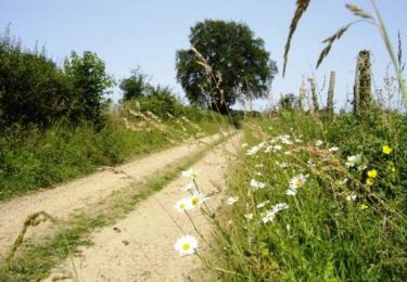
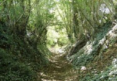
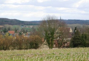
Trail Walking Tresson - Tresson - La Vallée de l'Etangsort 20 km - Photo

Tresson - La Vallée de l'Etangsort 20 km

 tracegps
tracegps

User

© OpenStreetMap contributors
Length
Length
19.7 km
Max alt
Max alt
168 m
Uphill gradient
Uphill gradient
265 m
Km-Effort
Km-Effort  
23 km
Min alt
Min alt
112 m
Downhill gradient
Downhill gradient
265 m
Boucle
Boucle
Yes
Creation date :
2014-12-10 00:00:00.0
Updated on :
2014-12-10 00:00:00.0

(0 Reviews)

Walking
Walking
5h00
Difficulty : Difficult

Scan this QR Code to open this trail in the SityTrail application

FREE GPS app for hiking

Logo SityTrail SityTrail

IGN / Geographical institutes

Download SityTrail from the App Store Download SityTrail from Google Play

Logo SityTrail SityTrail World

The world is yours!

Download SityTrail from the App Store Download SityTrail from Google Play Download SityTrail on Huawei AppGallery

About

Trail Walking of 19.7 km to be discovered at Pays de la Loire, Sarthe, Tresson. This trail is proposed by tracegps.

Description

A la découverte des trésors cachés du Perche Sarthois Tresson - La Vallée de l'Etangsort 20 km A voir en chemin ; fromages de chèvres au Petit Bordage, Voie antique, manoir des Hayes, ancienne ligne de tramway Le Grand Lucé / St Calais. A Tresson église St Martin, étang communal avec possibilité de pêche à la journée.

Elevation profile

Photos

Positioning

Country:
France
Region :
Pays de la Loire
Department/Province :
Sarthe
Municipality :
Tresson
Location:
Unknown
Start:(UTM)
318745 ; 5308419 (31T) N.

Trails nearby

Trail Walking Val-d'Étangson - Evaillé - Un village paisible ourlé par le Tusson - Photo
Walking
tracegps

Walking

Medium
Val-d'Étangson, Pays de la Loire, Sarthe, France
12.1 km | 14.1 km-effort
3h 0min
Yes
Trail Walking Maisoncelles - Maisoncelles circuit de 14km - Photo
Walking
tracegps

Walking

Medium
Maisoncelles, Pays de la Loire, Sarthe, France
15.4 km | 17.2 km-effort
4h 0min
Yes
Trail Walking Maisoncelles - Maisoncelles - bzz, bzz, font les abeilles... 8,5km - Photo
Walking
tracegps

Walking

Easy
Maisoncelles, Pays de la Loire, Sarthe, France
8.5 km | 9.4 km-effort
2h 0min
Yes
Trail Walking Tresson - Tresson - La Vallée de l'Etangsort 18 km - Photo
Walking
tracegps

Walking

Medium
Tresson, Pays de la Loire, Sarthe, France
17.4 km | 20 km-effort
4h 30min
Yes
Trail Walking Tresson - Tresson - La Vallée de l'Etangsort 14 km - Photo
Walking
tracegps

Walking

Medium
Tresson, Pays de la Loire, Sarthe, France
13.8 km | 16.3 km-effort
3h 30min
Yes
Trail Walking Val-d'Étangson - Saint Osmane - Entre tuffeau et grès roussard - Photo
Walking
tracegps

Walking

Medium
Val-d'Étangson, Pays de la Loire, Sarthe, France
12 km | 13.7 km-effort
3h 0min
Yes
Trail Walking Écorpain - 01/12/14-Fontaine du Bout- Sta Calais par Montaillé et GR - Photo
Walking
SERUS

Walking

Easy
Écorpain, Pays de la Loire, Sarthe, France
11.5 km | 13.2 km-effort
2h 53min
No
Trail Walking Écorpain - 01/12/14-Fontaine du Bout St Calais par La Gate - Photo
Walking
SERUS

Walking

Easy
Écorpain, Pays de la Loire, Sarthe, France
12.8 km | 15 km-effort
3h 16min
No
Trail Walking Écorpain - 01/12/14-Fontaine du Bout - St Calais par Le Chemin - Photo
Walking
SERUS

Walking

Easy
Écorpain, Pays de la Loire, Sarthe, France
11.1 km | 12.7 km-effort
2h 45min
No


Close
My subscriptions