


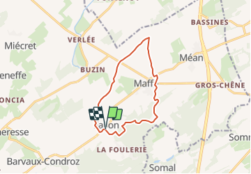

7.4 km | 9.9 km-effort


User


FREE GPS app for hiking
 SityTrail
IGN / Geographical institutes
SityTrail World
The world is yours!
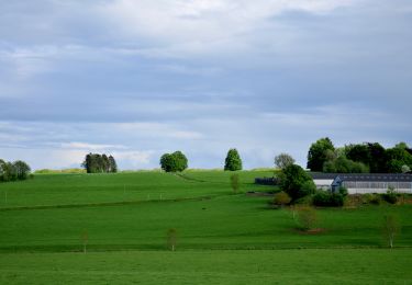
Trail Walking of 10.5 km to be discovered at Wallonia, Namur, Havelange. This trail is proposed by r.genette.
Départ de l'église, direction La Foulerie...1ère route à gauche et nous suivons un chemin vers Les Aloux..gauche vers Maffe que nous traverserons.Direction nord vers Magotalle, Stappe, Croix de Maffe, La Sablière et retour.
Walking

Walking

Walking
Walking
Walking

On foot

On foot

On foot
On foot
tb