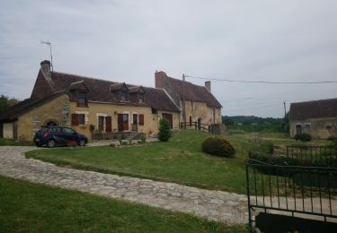
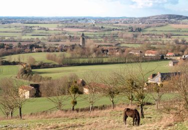
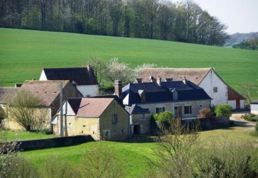
7.4 km | 9.6 km-effort
Avezé - Au coeur du bocage percheron
tracegps
User
Length
14.6 km
Max alt
179 m
Uphill gradient
231 m
Km-Effort
17.7 km
Min alt
85 m
Downhill gradient
231 m
Boucle
Yes
Creation date :
2014-12-10 00:00:00.0
Updated on :
2014-12-10 00:00:00.0
3h30
Difficulty : Medium
FREE GPS app for hiking
About
Trail Walking of 14.6 km to be discovered at Pays de la Loire, Sarthe, Avezé. This trail is proposed by tracegps.
Positioning
Country:
France
Region :
Pays de la Loire
Department/Province :
Sarthe
Municipality :
Avezé
Location:
Unknown
Start:(Dec)
Start:(UTM)
327442 ; 5344183 (31U) N.
Comments
Trails nearby
Le Theil-sur-Huisne (Val-au-Perche)-Saint-Germain-de-la-Coudre - 7,4 Km
Walking
Medium
Val-au-Perche,
Normandy,
Orne,
France
2h 3min
No
avezé Sarthe
Walking
Easy
Avezé,
Pays de la Loire,
Sarthe,
France
13.4 km | 15.9 km-effort
4h 17min
Yes
Le Theil-sur-Huisne (Val-au-Perche) - Saint-Cyr-la-Rosière 11 km
Walking
Easy
Val-au-Perche,
Normandy,
Orne,
France
11.2 km | 13.6 km-effort
2h 52min
No
Cherreau - Sur le sentier des lièvres
Walking
Medium
Cherré-Au,
Pays de la Loire,
Sarthe,
France
6.7 km | 8.4 km-effort
1h 30min
Yes
Souvigné sur Même - Paysages de la Vallée de l'Huisne
Walking
Medium
Souvigné-sur-Même,
Pays de la Loire,
Sarthe,
France
6 km | 7.8 km-effort
1h 30min
Yes
Les bois de Beauvais
Walking
Easy
Avezé,
Pays de la Loire,
Sarthe,
France
11.2 km | 14.6 km-effort
3h 19min
Yes
La Ferté Bernard trace
Running
La Ferté-Bernard,
Pays de la Loire,
Sarthe,
France
9.4 km | 10.1 km-effort
1h 5min
Yes
Souvigné-sur-Même 10,1km
Walking
Easy
(1)
Souvigné-sur-Même,
Pays de la Loire,
Sarthe,
France
10.1 km | 12.2 km-effort
2h 40min
Yes
Mâle Vallée de la Jambette 8.4 Km
Walking
Easy
Val-au-Perche,
Normandy,
Orne,
France
8.4 km | 10.8 km-effort
2h 48min
Yes