


9.3 km | 9.8 km-effort

User


FREE GPS app for hiking
 SityTrail
IGN / Geographical institutes
SityTrail World
The world is yours!
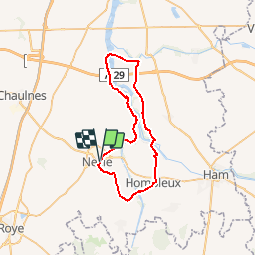
Trail Cycle of 41 km to be discovered at Hauts-de-France, Somme, Nesle. This trail is proposed by tracegps.
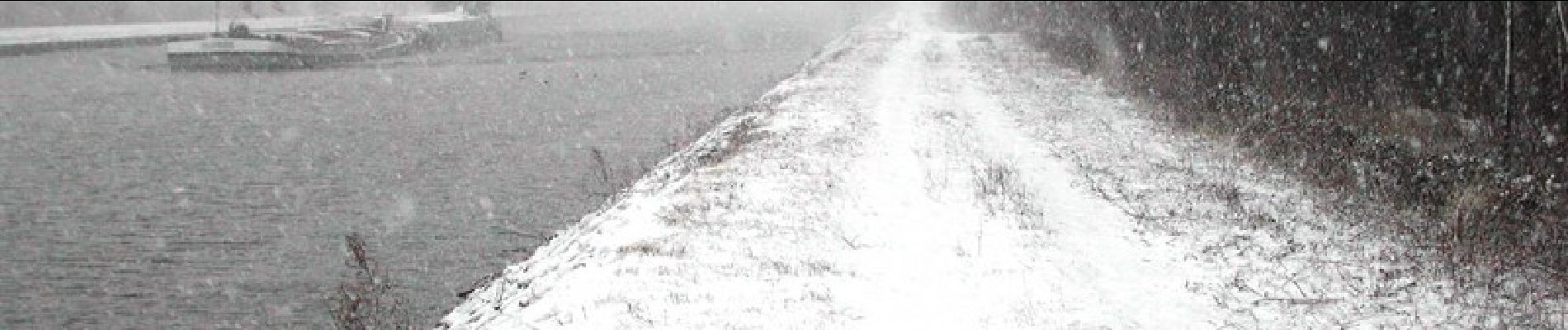
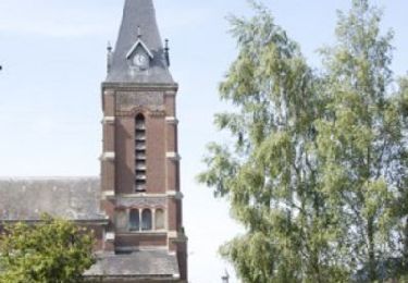
Canal du nord et de la Somme Au départ de Nesle, partez à la découverte des deux principaux canaux du département. Cet itinéraire s’ouvre sur de vastes étangs propices à la pratique de la pêche. Départ : Nesle, parking du faubourg St Marcoult. À voir : Hombleux : Atelier Rémi Damiens (sculpture et tournage sur bois). Falvy : Eglise Sainte Benoite. Villecourt : source de la Saint-Barthélémy. Saint-Christ-Briost : Le Vivier d’Omignon (site de pêche et de loisirs).

Walking

Walking

Walking

Walking
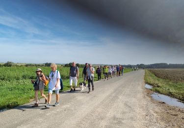
Walking

Walking

On foot
On foot
Walking
beau circuit mais pas de repère sur le terrain