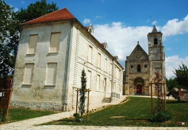
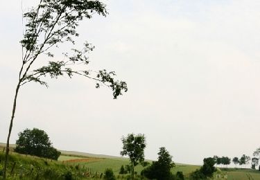
Trail Cycle Domart-en-Ponthieu - Les Muches - Domart en Ponthieu - Photo

Les Muches - Domart en Ponthieu

 tracegps
tracegps

User

© OpenStreetMap contributors
Length
Length
60 km
Max alt
Max alt
143 m
Uphill gradient
Uphill gradient
690 m
Km-Effort
Km-Effort  
69 km
Min alt
Min alt
26 m
Downhill gradient
Downhill gradient
692 m
Boucle
Boucle
Yes
Creation date :
2014-12-10 00:00:00.0
Updated on :
2014-12-10 00:00:00.0

(0 Reviews)

Cycle
Cycle
3h00
Difficulty : Difficult

Scan this QR Code to open this trail in the SityTrail application

FREE GPS app for hiking

Logo SityTrail SityTrail

IGN / Geographical institutes

Download SityTrail from the App Store Download SityTrail from Google Play

Logo SityTrail SityTrail World

The world is yours!

Download SityTrail from the App Store Download SityTrail from Google Play Download SityTrail on Huawei AppGallery

About

Trail Cycle of 60 km to be discovered at Hauts-de-France, Somme, Domart-en-Ponthieu. This trail is proposed by tracegps.

Description

Les Muches Une longue balade au coeur du Ponthieu : un paysage vallonné, l’architecture picarde et les muches à Domqueur (mot picard pour dire cachettes ou souterrains-refuges). Départ : place des halles, place de la mairie à Domart-en-Ponthieu ou place de l’abbaye à Saint-Riquier. La Somme : Sports et nature envoyé par CG80

Elevation profile

Photos

Positioning

Country:
France
Region :
Hauts-de-France
Department/Province :
Somme
Municipality :
Domart-en-Ponthieu
Location:
Unknown
Start:(UTM)
437485 ; 5547156 (31U) N.

Trails nearby

Trail On foot Saint-Léger-lès-Domart - Circuit du Bois des Dames - Photo
On foot
GUIDE+

On foot

Easy
Saint-Léger-lès-Domart, Hauts-de-France, Somme, France
11.5 km | 13.2 km-effort
2h 59min
Yes
Trail Walking Saint-Léger-lès-Domart - L'arbre de la Croix - Photo
Walking
tracegps

Walking

Medium
Saint-Léger-lès-Domart, Hauts-de-France, Somme, France
6.5 km | 7.9 km-effort
2h 0min
Yes
Trail sport Pernois -  - Photo
sport
club de la bresle

sport

Very easy
Pernois, Hauts-de-France, Somme, France
87 km | 103 km-effort
Unknown
No
Trail Motor L'Étoile - Hivernale04-12-2011 - Photo
Motor
sd0001

Motor

Difficult
L'Étoile, Hauts-de-France, Somme, France
113 km | 131 km-effort
5h 55min
No


Close
My subscriptions