


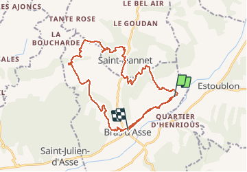

16.1 km | 26 km-effort


User GUIDE


FREE GPS app for hiking
 SityTrail
IGN / Geographical institutes
SityTrail World
The world is yours!
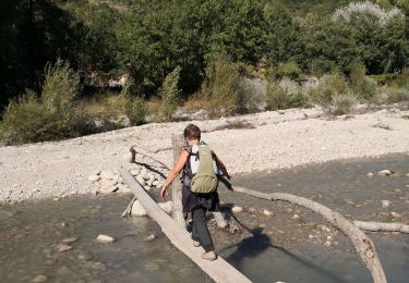
Trail Walking of 22 km to be discovered at Provence-Alpes-Côte d'Azur, Alpes-de-Haute-Provence, Bras-d'Asse. This trail is proposed by RobinMicheline.
agréable à refaire 5h de marche 6h total 16 kms 640 m dénivelé OUI

Walking
Walking
Walking
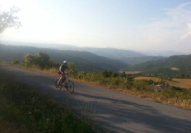
Mountain bike
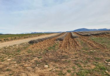
Walking
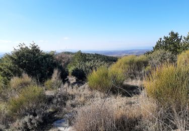
Walking
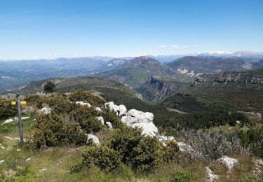
Walking
Walking
![Trail Mountain bike Estoublon - [PAT] Rando Estoublon - Photo](https://media.geolcdn.com/t/375/260/283c4797-1158-4d41-9f29-d4dd1a3e159b.jpg&format=jpg&maxdim=2)
Mountain bike