


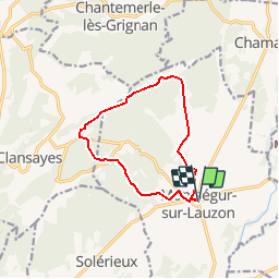


7.2 km | 8.4 km-effort

User


FREE GPS app for hiking
 SityTrail
IGN / Geographical institutes
SityTrail World
The world is yours!
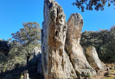
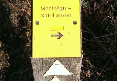
Trail Walking of 11 km to be discovered at Auvergne-Rhône-Alpes, Drôme, Montségur-sur-Lauzon. This trail is proposed by tracegps.
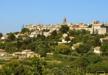
Situé au cœur de la vallée du Rhône, la commune de Montésgur a su préserver son charme naturel grâce à un patrimoine actif et confirmé. (source Wikipédia) D’autres informations et photos sur le site des Balades de Stéphane.


Walking
Walking
Walking
Walking
Walking

Walking
Walking

Walking

Walking