


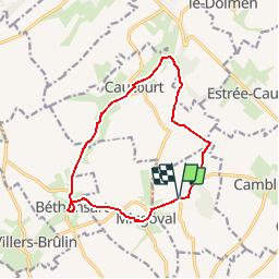

11.7 km | 13.2 km-effort

User


FREE GPS app for hiking
 SityTrail
IGN / Geographical institutes
SityTrail World
The world is yours!
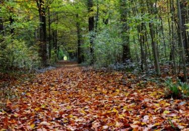
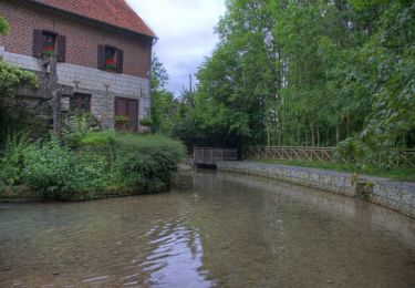
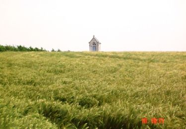
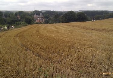
Trail Walking of 11.8 km to be discovered at Hauts-de-France, Pas-de-Calais, Villers-Châtel. This trail is proposed by tracegps.
Circuit proposé par le Communauté de Communes de l’Atrebatie Départ de la place des Martyrs à Villers-Châtel. Au Moyen-Âge, les paysans exploitaient le charbon de bois d’où le chemin de la charbonnière. Retrouvez cette randonnée sur le site de la Communauté de Communes de l’Atrébatie. Ce circuit a été numérisé par les randonneurs du CODEPEM. Merci à Jean-Marie.
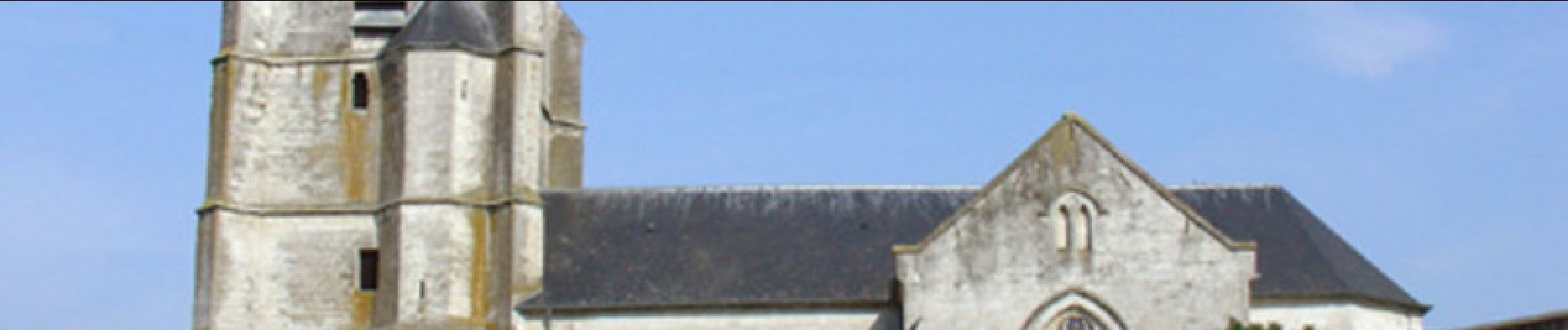
 - Photo 1")
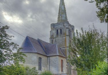
 - Photo 2")
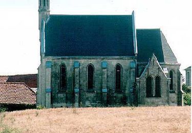
 - Photo 3")
 - Photo 4")
 - Photo 5")
Walking

Walking
Walking
Walking
Walking
Walking
Walking

Walking
Walking