


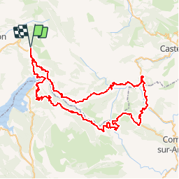

89 km | 126 km-effort

User


FREE GPS app for hiking
 SityTrail
IGN / Geographical institutes
SityTrail World
The world is yours!
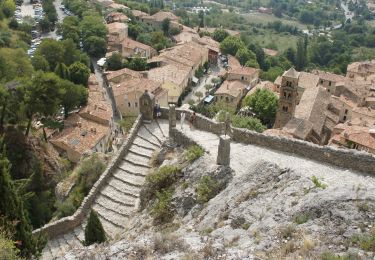
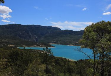
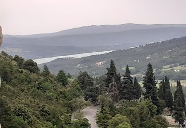
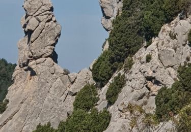
Trail Cycle of 89 km to be discovered at Provence-Alpes-Côte d'Azur, Alpes-de-Haute-Provence, Moustiers-Sainte-Marie. This trail is proposed by tracegps.
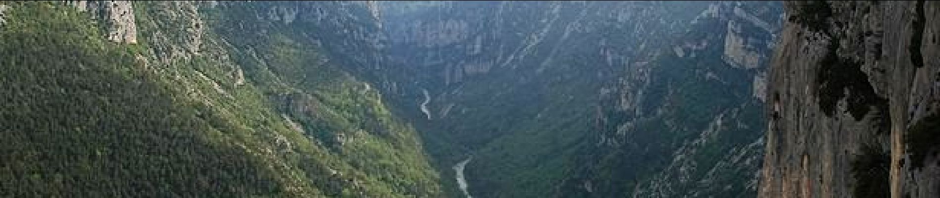
Tour des Gorges du Verdon. Montée par Aiguines et retour par Lapalud Le Club Cyclotouriste Malaucène Ventoux a 31 ans. Il regroupe les passionnés de la petite reine, de tous âges et de tous niveaux. Une ou deux sorties hebdomadaires sont effectuées tout au long de l'année, et une sortie randonnée sur plusieurs jours, généralement une semaine est accomplie chaque année. Découvrez notre club, et venez à notre rencontre à l'occasion de votre visite sur notre site.


Walking
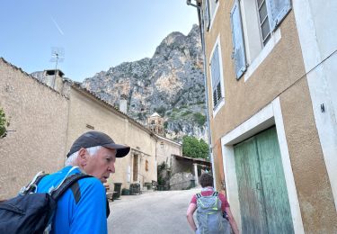
Walking

Walking
Walking
Walking
Walking
Walking
Walking
Walking