


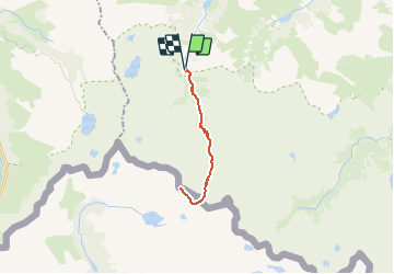

3.6 km | 5.1 km-effort

User


FREE GPS app for hiking
 SityTrail
IGN / Geographical institutes
SityTrail World
The world is yours!
Trail Walking of 21 km to be discovered at Occitania, Hautespyrenees, Arrens-Marsous. This trail is proposed by tracegps.
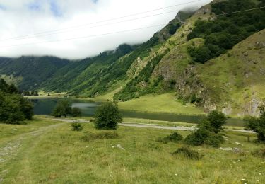
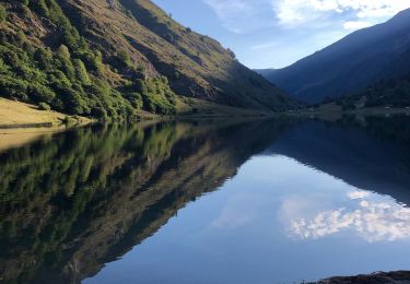
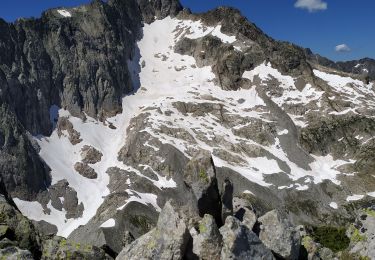
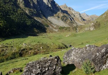
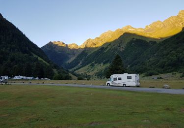
La crête du diable, la crête de Costérillou, la brèche Latour et autres lieux aux noms incantatoires ne sont pas à la portée des randonneurs, mais tout près, sur la crête frontière, un belvédère de 2890m, accessible les mains dans les poches, offre une vue exceptionnelle sur le massif du Balaitous, les Frondellas, la Fache, le Vignemale, le pic Long, le Néouvielle, le pic du Midi de Bigorre et bien d'autres sommets. Difficulté: La longueur de la rando, Randonneur en bonne condition physique. D’autres indications, photos et panoramiques sur le site « Les Pyrénées vues par Mariano ».

Walking
Walking
Walking
Walking
Walking
Walking
Walking

Walking
Walking