


6.2 km | 6.7 km-effort


User


FREE GPS app for hiking
 SityTrail
IGN / Geographical institutes
SityTrail World
The world is yours!
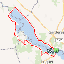
Trail Walking of 9.3 km to be discovered at Occitania, Hautespyrenees, Luquet. This trail is proposed by tracegps.
Balade autour d'un lac au pied de la chaîne des Pyrénées. Magnifique vue sur le massif tout au long de la rando. Une belle sortie a faire en famille ou en sportif. La fiche descriptive du circuit par le Comité départemental du Tourisme.

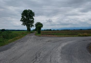
Walking

Walking
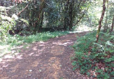
Nordic walking
Walking
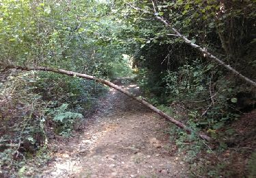
Walking
Walking
Walking
Walking
Walking
belle zone de courses