Trail Walking Martinpuich - Le sentier de l'Abbaye d'Eaucourt - Photo

Le sentier de l'Abbaye d'Eaucourt

 tracegps
tracegps

User

© OpenStreetMap contributors
Length
Length
16.2 km
Max alt
Max alt
162 m
Uphill gradient
Uphill gradient
151 m
Km-Effort
Km-Effort  
18.2 km
Min alt
Min alt
97 m
Downhill gradient
Downhill gradient
152 m
Boucle
Boucle
Yes
Creation date :
2014-12-10 00:00:00.0
Updated on :
2014-12-10 00:00:00.0

(0 Reviews)

Walking
Walking
4h15
Difficulty : Difficult

Scan this QR Code to open this trail in the SityTrail application

FREE GPS app for hiking

Logo SityTrail SityTrail

IGN / Geographical institutes

Download SityTrail from the App Store Download SityTrail from Google Play

Logo SityTrail SityTrail World

The world is yours!

Download SityTrail from the App Store Download SityTrail from Google Play Download SityTrail on Huawei AppGallery

About

Trail Walking of 16.2 km to be discovered at Hauts-de-France, Pas-de-Calais, Martinpuich. This trail is proposed by tracegps.

Description

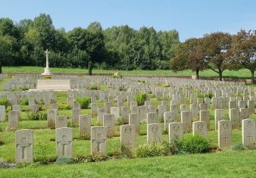
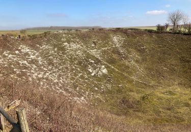
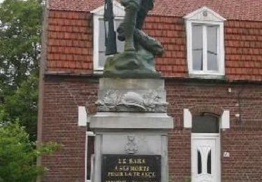
Circuit proposé par l’Office de Tourisme du Seuil de l’Artois Bapaume – Bertincourt . Départ de l’église de Martinpuich. Qui peut se douter aujourd'hui que le paisible village de Martinpuich a été le théâtre de terribles combats lors de la 1ère Guerre Mondiale? Dévasté au point d'être placé en Zone Rouge, c'est-à-dire ne jamais être reconstruit et remis en culture, c'est aujourd'hui un charmant village qui a su revivre en intégrant les vestiges de ce passé. Le chant des oiseaux a heureusement fini par faire oublier le "pipe band" et le canon, rendant à la nature sa sérénité que ne trouble aujourd'hui que le ronronnement du tracteur. Retrouvez le plan et son descriptif ICI. Ce circuit a été numérisé par les randonneurs du CODEPEM. Merci à Jean-Marie.

Elevation profile

Photos

Positioning

Country:
France
Region :
Hauts-de-France
Department/Province :
Pas-de-Calais
Municipality :
Martinpuich
Location:
Unknown
Start:(UTM)
483085 ; 5544188 (31U) N.

Trails nearby

Trail Walking Bazentin - jean Baptiste et le Dragon rouge - Photo
Walking
José800

Walking

Easy
Bazentin, Hauts-de-France, Somme, France
13 km | 15.6 km-effort
2h 9min
Yes
Trail Walking Ovillers-la-Boisselle - La Boissellerie - Photo
Walking
jpblimond

Walking

Medium
Ovillers-la-Boisselle, Hauts-de-France, Somme, France
18.4 km | 21 km-effort
4h 22min
Yes
Trail Walking Warlencourt-Eaucourt - Le sentier de la Butte de Warlencourt (Warlencourt-Eaucourt) - Photo
Walking
tracegps

Walking

Medium
Warlencourt-Eaucourt, Hauts-de-France, Pas-de-Calais, France
9.7 km | 11.1 km-effort
2h 30min
Yes
Trail Walking Grandcourt - GRANDCOURT - Circuit du Pont des Poilus - Photo
Walking
temmichel

Walking

Difficult
Grandcourt, Hauts-de-France, Somme, France
13 km | 14.7 km-effort
3h 20min
Yes


Close
My subscriptions